UN/LOCODE hub · Türkiye
TRBZC

Bozcaada

39.8333°, 26.0667°
2,635
Population
1
Transport functions

Transport Functions

Port
UN/LOCODE

Hub Profile

Place type
Provincial seat
GeoNames
Region
Canakkale
GeoNames
Population
2,635
GeoNames
Time zone
Europe/Istanbul
GeoNames
Elevation
12 m
GeoNames

Location

Location of TRBZC
Natural Earth 10m (public domain) · Canakkale · TRBZC · 39.83, 26.07GoogleOSMYandex

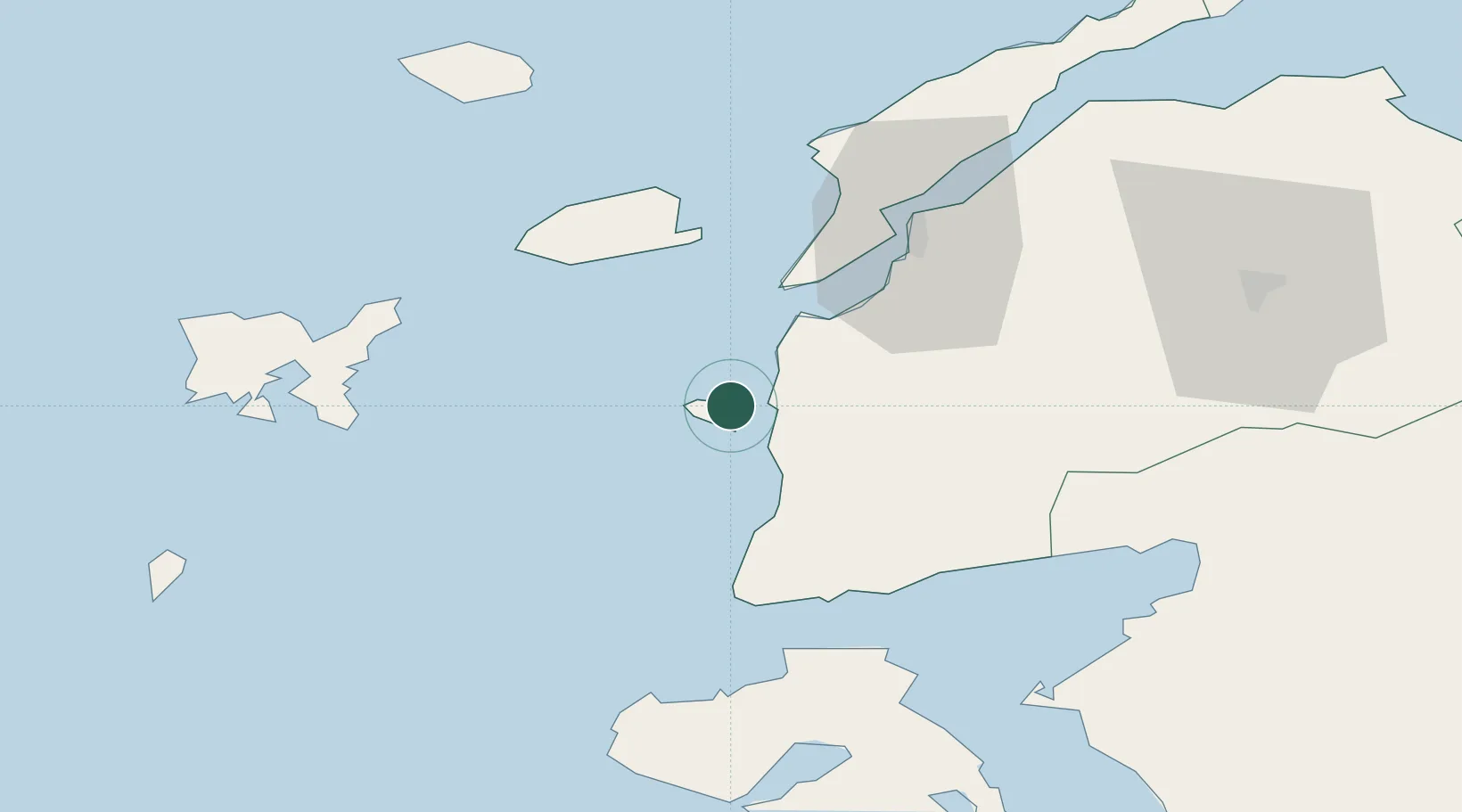
Nearby Logistics Neighbours

Cities
  1. 1Akcansa40 km
  2. 2Baba Point41 km
  3. 3Gokceada41 km
  4. 4Çanakkale45 km
  5. 5Molyvos52 km
Nearest neighbours — logibook spatial index (haversine) over the source coordinates
Ports
  1. 1Canakkale45 km
  2. 2Eceabat47 km
  3. 3Ayvalik79 km
  4. 4Gelibolu81 km
  5. 5Mitilini92 km
Nearest neighbours — logibook spatial index (haversine) over the source coordinates
Airports
  1. 1Çanakkale Airport46 km
  2. 2Limnos Airport72 km
  3. 3Balıkesir Koca Seyit Airport87 km
  4. 4Mytilene International Airport98 km
  5. 5Alexandroupoli Democritus Airport114 km
Nearest neighbours — logibook spatial index (haversine) over the source coordinates
Trade Zones
  1. 1Aliaga Kimya Ihtisas ve Karma Organized Industrial Zone141 km
  2. 2Balikesir Organized Industrial Zone154 km
  3. 3Izmir Free Zone154 km
  4. 4Izmir Ataturk Organized Industrial Zone171 km
  5. 5Manisa Organized Industrial Zone176 km
Nearest neighbours — logibook spatial index (haversine) over the source coordinates
DatabookThe Record of Consolidated Knowledge
Türkiye beyond logistics?
Browse databook

All Sources

LocationsUN/LOCODE
UN/LOCODE — free
LocationsGeoNames
CC BY 4.0
Portsthe NGA World Port Index
Public domain (US gov)
AirportsOurAirports
Public domain
Trade Zonesthe World Bank SEZ database
CC BY 4.0
Trade ZonesOpen Zone Map
CC BY
← Türkiye locations