UN/LOCODE hub · Türkiye
TRSSX
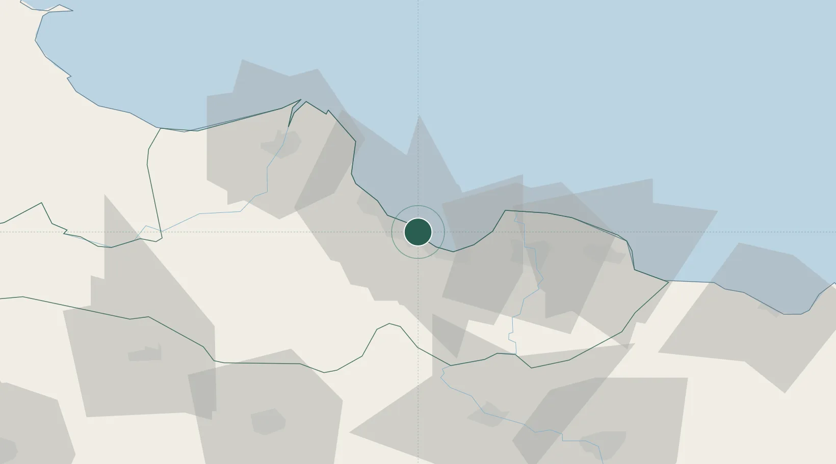
Samsun
41.3044°, 36.3367°
394,050
Population
2
Transport functions
1
Container terminals
Transport Functions
Port
Airport
Hub Profile
Place type
Regional capital
Region
Samsun
Population
394,050
Time zone
Europe/Istanbul
Elevation
64 m
Logistics facilities
1
Container terminals
1
Location
Nearby Logistics Neighbours
Cities
- 1Gerze39 km
- 2Büyükçukur41 km
- 3Aydinlik Koy77 km
- 4Ünye81 km
- 5Fatsa101 km
Airports
- 1Samsun-Çarşamba Airport20 km
- 2Amasya Merzifon Airport86 km
- 3Tokat Airport109 km
- 4Sinop Airport132 km
- 5Ordu–Giresun Airport151 km
Trade Zones
DatabookThe Record of Consolidated Knowledge
Türkiye beyond logistics?