Transport Functions
Road
Multimodal
Hub Profile
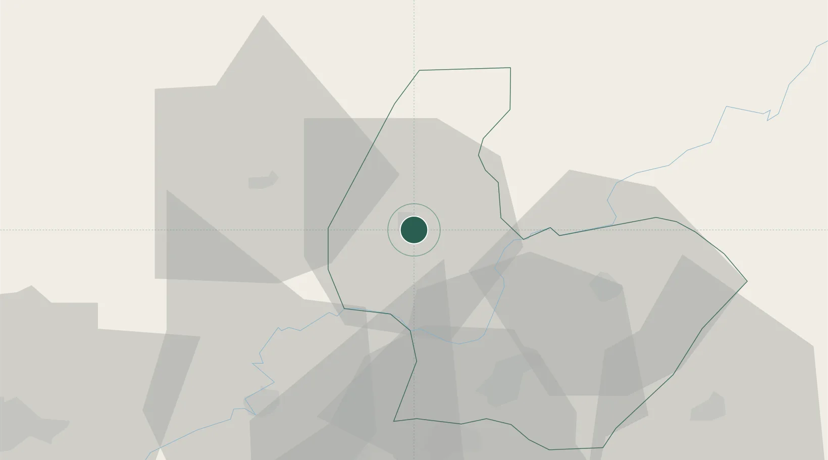
Place type
Provincial seat
Region
Osmaniye
Population
70,248
Time zone
Europe/Istanbul
Elevation
82 m
Location
Nearby Logistics Neighbours
Cities
- 1Toros Gubre Terminal, Gubre51 km
- 2Dörtyol56 km
- 3Botas61 km
- 4Adana63 km
- 5Cakmak67 km
Ports
- 1Toros Gubre51 km
- 2Botas56 km
- 3Yakacik73 km
- 4Iskenderun86 km
- 5Mersin145 km
Airports
- 1İncirlik Air Base72 km
- 2Kahramanmaraş Airport78 km
- 3Adana Şakirpaşa Airport84 km
- 4Çukurova International Airport105 km
- 5Hatay Airport113 km
Trade Zones
DatabookThe Record of Consolidated Knowledge
Türkiye beyond logistics?