UN/LOCODE hub · Türkiye
TRBOT

Botas

36.8167°, 36.1667°
1
Transport functions

Transport Functions

Port
Botas is also a profiled seaport →
UN/LOCODE

Hub Profile

Region
01
GeoNames

Location

Location of TRBOT
Natural Earth 10m (public domain) · 01 · TRBOT · 36.82, 36.17GoogleOSMYandex

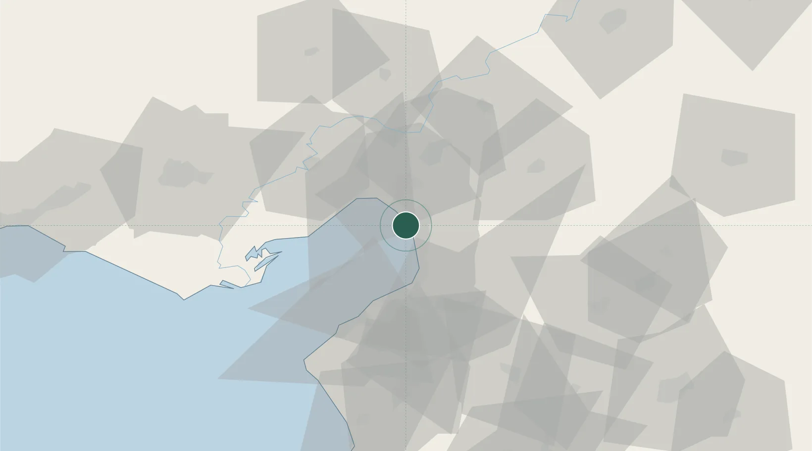
Nearby Logistics Neighbours

Cities
  1. 1Dörtyol6 km
  2. 2Isdemir11 km
  3. 3Sariseki17 km
  4. 4Toros Gubre Terminal, Gubre20 km
  5. 5Iskenderun21 km
Nearest neighbours — logibook spatial index (haversine) over the source coordinates
Ports
  1. 1Yakacik11 km
  2. 2Toros Gubre21 km
  3. 3Iskenderun24 km
  4. 4Mersin137 km
  5. 5Al Ladhiqiyah147 km
Nearest neighbours — logibook spatial index (haversine) over the source coordinates
Airports
  1. 1Hatay Airport52 km
  2. 2İncirlik Air Base69 km
  3. 3Adana Şakirpaşa Airport81 km
  4. 4Çukurova International Airport98 km
  5. 5Kahramanmaraş Airport106 km
Nearest neighbours — logibook spatial index (haversine) over the source coordinates
Trade Zones
  1. 1Iskenderun Organized Industrial Zone15 km
  2. 2Adana Yumurtalik Free Zone18 km
  3. 3Osmaniye Organized Industrial Zone23 km
  4. 4Adana Haci Sabanci Organized Industrial Zone53 km
  5. 5Gaziantep Free Zone110 km
Nearest neighbours — logibook spatial index (haversine) over the source coordinates
DatabookThe Record of Consolidated Knowledge
Türkiye beyond logistics?
Browse databook

All Sources

LocationsUN/LOCODE
UN/LOCODE — free
Portsthe NGA World Port Index
Public domain (US gov)
AirportsOurAirports
Public domain
Trade Zonesthe World Bank SEZ database
CC BY 4.0
Trade ZonesOpen Zone Map
CC BY
← Türkiye locations