UN/LOCODE hub · Türkiye
TRBBP

Baba Point

39.4667°, 26.0667°
1
Transport functions

Transport Functions

Port
UN/LOCODE

Hub Profile

Region
17
GeoNames

Location

Location of TRBBP
Natural Earth 10m (public domain) · 17 · TRBBP · 39.47, 26.07GoogleOSMYandex

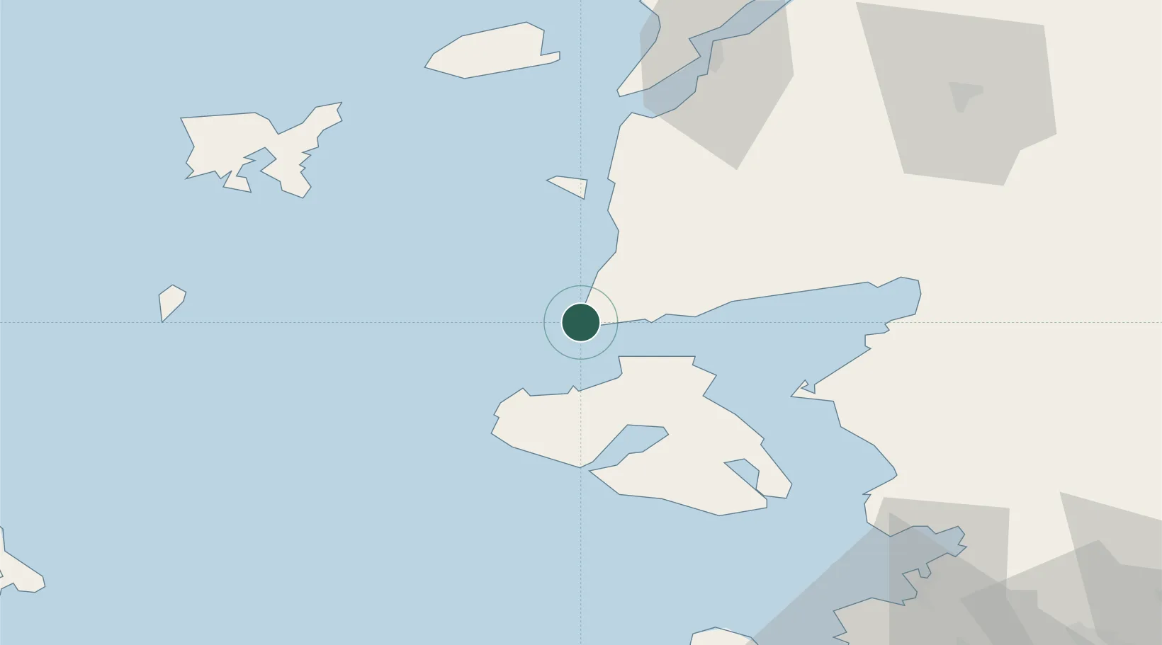
Nearby Logistics Neighbours

Cities
  1. 1Molyvos13 km
  2. 2Petra18 km
  3. 3Sigrion34 km
  4. 4Sigri Lesvou34 km
  5. 5Bozcaada41 km
Nearest neighbours — logibook spatial index (haversine) over the source coordinates
Ports
  1. 1Ayvalik57 km
  2. 2Mitilini59 km
  3. 3Plomarion60 km
  4. 4Canakkale81 km
  5. 5Dikili82 km
Nearest neighbours — logibook spatial index (haversine) over the source coordinates
Airports
  1. 1Mytilene International Airport65 km
  2. 2Çanakkale Airport81 km
  3. 3Balıkesir Koca Seyit Airport82 km
  4. 4Limnos Airport87 km
  5. 5Chios Island National Airport125 km
Nearest neighbours — logibook spatial index (haversine) over the source coordinates
Trade Zones
  1. 1Aliaga Kimya Ihtisas ve Karma Organized Industrial Zone112 km
  2. 2Izmir Free Zone120 km
  3. 3Izmir Ataturk Organized Industrial Zone137 km
  4. 4Manisa Organized Industrial Zone147 km
  5. 5Balikesir Organized Industrial Zone153 km
Nearest neighbours — logibook spatial index (haversine) over the source coordinates
DatabookThe Record of Consolidated Knowledge
Türkiye beyond logistics?
Browse databook

All Sources

LocationsUN/LOCODE
UN/LOCODE — free
Portsthe NGA World Port Index
Public domain (US gov)
AirportsOurAirports
Public domain
Trade Zonesthe World Bank SEZ database
CC BY 4.0
Trade ZonesOpen Zone Map
CC BY
← Türkiye locations