UN/LOCODE hub · Greece
GRMOL

Molyvos

39.3667°, 26.1500°
2
Transport functions

Transport Functions

Port
Road
UN/LOCODE

Hub Profile

Region
83
GeoNames

Location

Location of GRMOL
Natural Earth 10m (public domain) · 83 · GRMOL · 39.37, 26.15GoogleOSMYandex

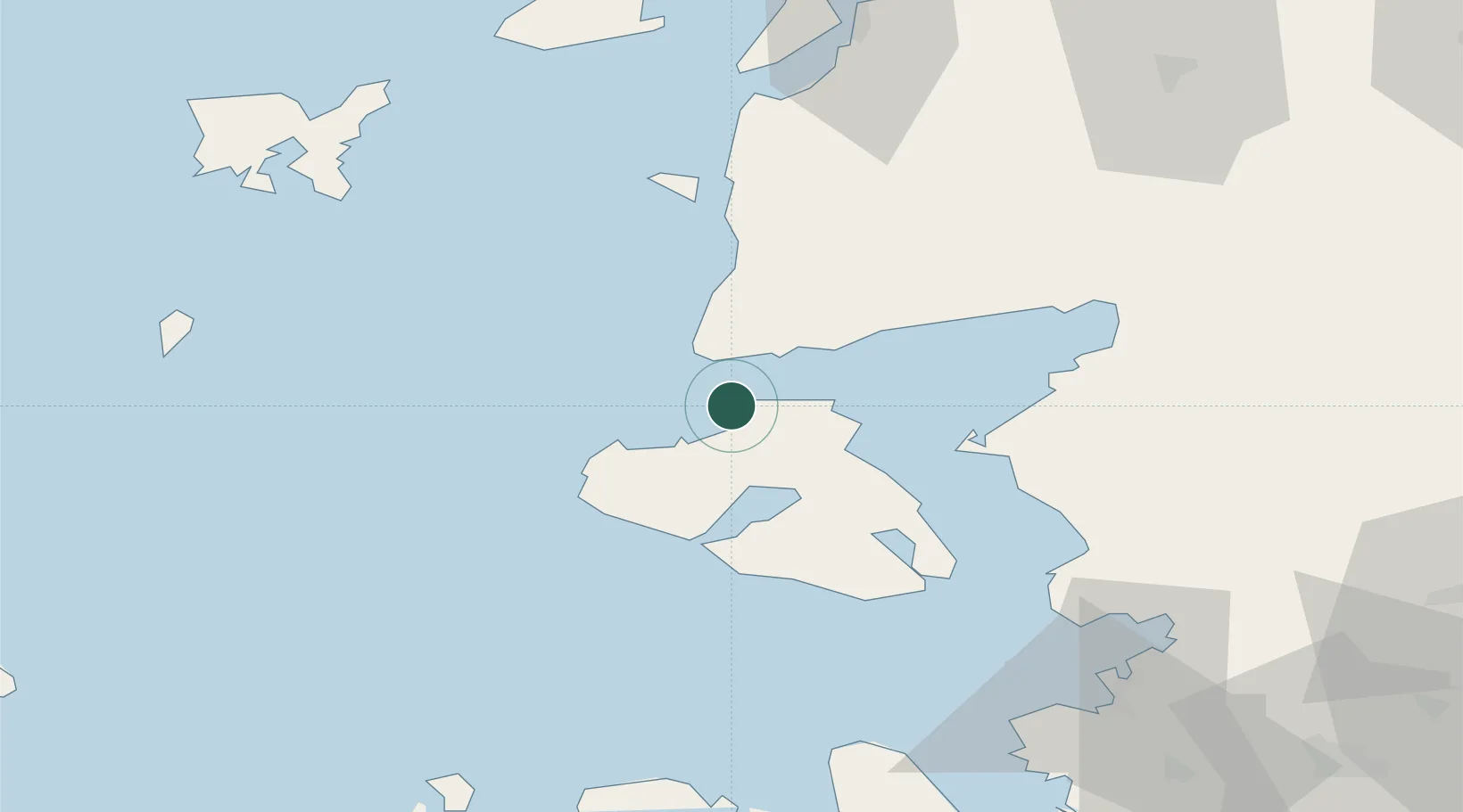
Nearby Logistics Neighbours

Cities
  1. 1Petra5 km
  2. 2Baba Point13 km
  3. 3Sigrion31 km
  4. 4Sigri Lesvou32 km
  5. 5Mytilene46 km
Nearest neighbours — logibook spatial index (haversine) over the source coordinates
Ports
  1. 1Plomarion47 km
  2. 2Mitilini47 km
  3. 3Ayvalik48 km
  4. 4Dikili69 km
  5. 5Canakkale90 km
Nearest neighbours — logibook spatial index (haversine) over the source coordinates
Airports
  1. 1Mytilene International Airport52 km
  2. 2Balıkesir Koca Seyit Airport77 km
  3. 3Çanakkale Airport89 km
  4. 4Limnos Airport99 km
  5. 5Chios Island National Airport114 km
Nearest neighbours — logibook spatial index (haversine) over the source coordinates
Trade Zones
  1. 1Aliaga Kimya Ihtisas ve Karma Organized Industrial Zone99 km
  2. 2Izmir Free Zone107 km
  3. 3Izmir Ataturk Organized Industrial Zone124 km
  4. 4Manisa Organized Industrial Zone134 km
  5. 5Aegean Free Zone142 km
Nearest neighbours — logibook spatial index (haversine) over the source coordinates
DatabookThe Record of Consolidated Knowledge
Greece beyond logistics?
Browse databook

All Sources

LocationsUN/LOCODE
UN/LOCODE — free
Portsthe NGA World Port Index
Public domain (US gov)
AirportsOurAirports
Public domain
Trade Zonesthe World Bank SEZ database
CC BY 4.0
Trade ZonesOpen Zone Map
CC BY
← Greece locations