Transport Functions
Port
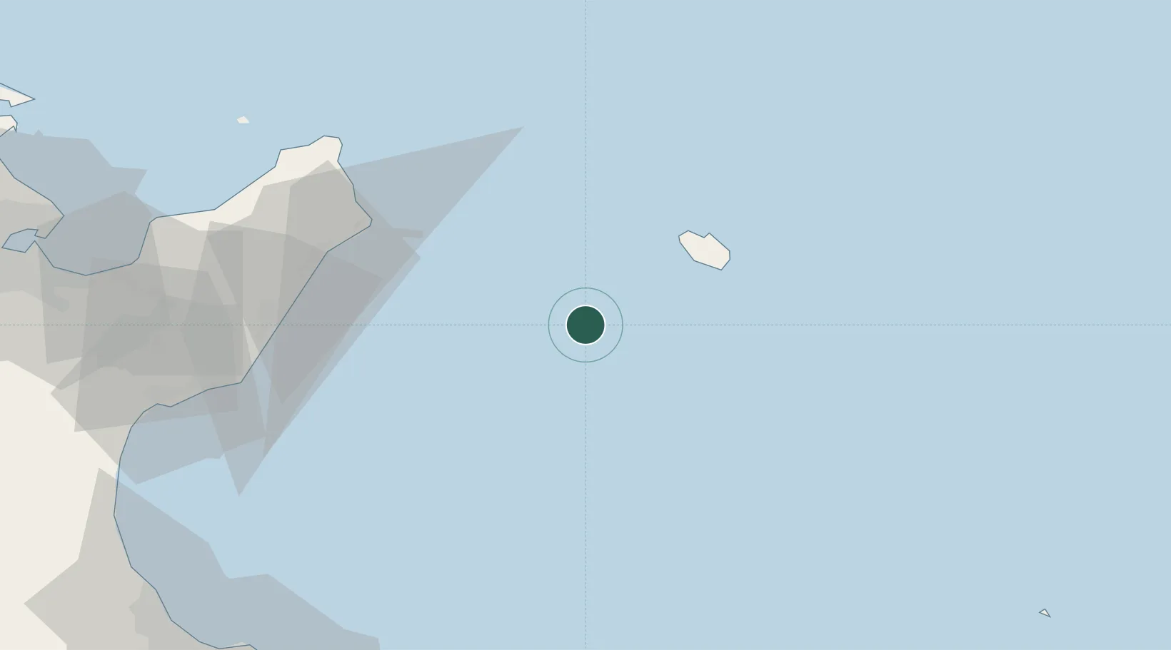
Location
Nearby Logistics Neighbours
Cities
- 1Oudna37 km
- 2Dar Chabanne85 km
- 3Al Hammamat98 km
- 4Grombalia106 km
- 5Soliman108 km
Ports
- 1Pantelleria35 km
- 2La Goulette125 km
- 3Rades126 km
- 4Sousse126 km
- 5Tunis130 km
Airports
Trade Zones
DatabookThe Record of Consolidated Knowledge
Tunisia beyond logistics?