Transport Functions
Port
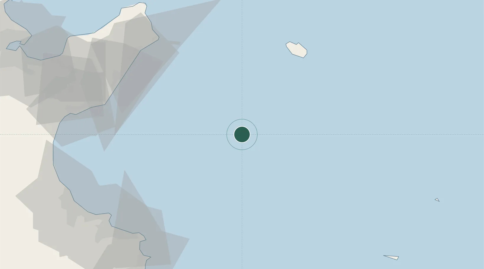
Location
Nearby Logistics Neighbours
Cities
- 1Tazerka Terminal37 km
- 2Dar Chabanne84 km
- 3Al Hammamat94 km
- 4Bu Hajar96 km
- 5Ksibet el Médiouni99 km
Ports
- 1Tazerka Oil Terminal37 km
- 2Pantelleria69 km
- 3Mahdia100 km
- 4Sousse102 km
- 5Lampedusa121 km
Airports
Trade Zones
DatabookThe Record of Consolidated Knowledge
Tunisia beyond logistics?