Seaport · Italy

PantelleriaITPNL

36.8380°, 11.9420°

Channel & Berth Profile

NGA World Port Index

Facilities & Capabilities

Container
Ro-Ro
Liquid bulk
Dry bulk
Oil terminal
Break bulk
Dry dock
Repairs
Bunkering
Rail link
Dangerous cargo
ISPS security
NGA World Port Index

Harbour Specifications

Harbour size
Small
NGA World Port Index
Water body
Mediterranean Sea; North Atlantic Ocean
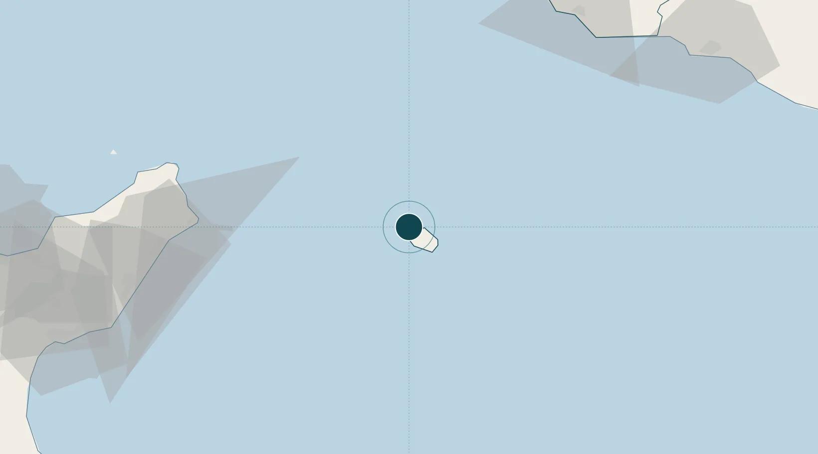
NGA World Port Index

Location

Location of ITPNL
Natural Earth 10m (public domain) · Trapani · ITPNL · 36.84, 11.94GoogleOSMYandex

Nearby Logistics Neighbours

Ports
  1. 1Tazerka Oil Terminal35 km
  2. 2Mazara Del Vallo107 km
  3. 3Marsala114 km
  4. 4Sciacca125 km
  5. 5Marettimo126 km
Nearest neighbours — logibook spatial index (haversine) over the source coordinates
Cities
  1. 1Tazerka Terminal35 km
  2. 2Oudna69 km
  3. 3Mazara del Vallo107 km
  4. 4Petrosino109 km
  5. 5Marinella di Selinunte111 km
Nearest neighbours — logibook spatial index (haversine) over the source coordinates
Airports
  1. 1Pantelleria Airport3 km
  2. 2Vincenzo Florio Airport Trapani-Birgi129 km
  3. 3Tunis Carthage International Airport153 km
  4. 4Enfidha - Hammamet International Airport159 km
  5. 5Monastir Habib Bourguiba International Airport160 km
Nearest neighbours — logibook spatial index (haversine) over the source coordinates
Trade Zones
  1. 1Bizerte Park of Economic Activities191 km
  2. 2Sicily Special Economic Zone Area222 km
  3. 3Malta Freeport259 km
  4. 4Zarzis Park of Economic Activities381 km
  5. 5Free Zone of Portovesme404 km
Nearest neighbours — logibook spatial index (haversine) over the source coordinates
DatabookThe Record of Consolidated Knowledge
Italy beyond logistics?
Browse databook

All Sources

Portsthe NGA World Port Index
Public domain (US gov)
AirportsOurAirports
Public domain
LocationsUN/LOCODE
UN/LOCODE — free
Trade Zonesthe World Bank SEZ database
CC BY 4.0
Trade ZonesOpen Zone Map
CC BY
← Italy ports