Transport Functions
Multimodal
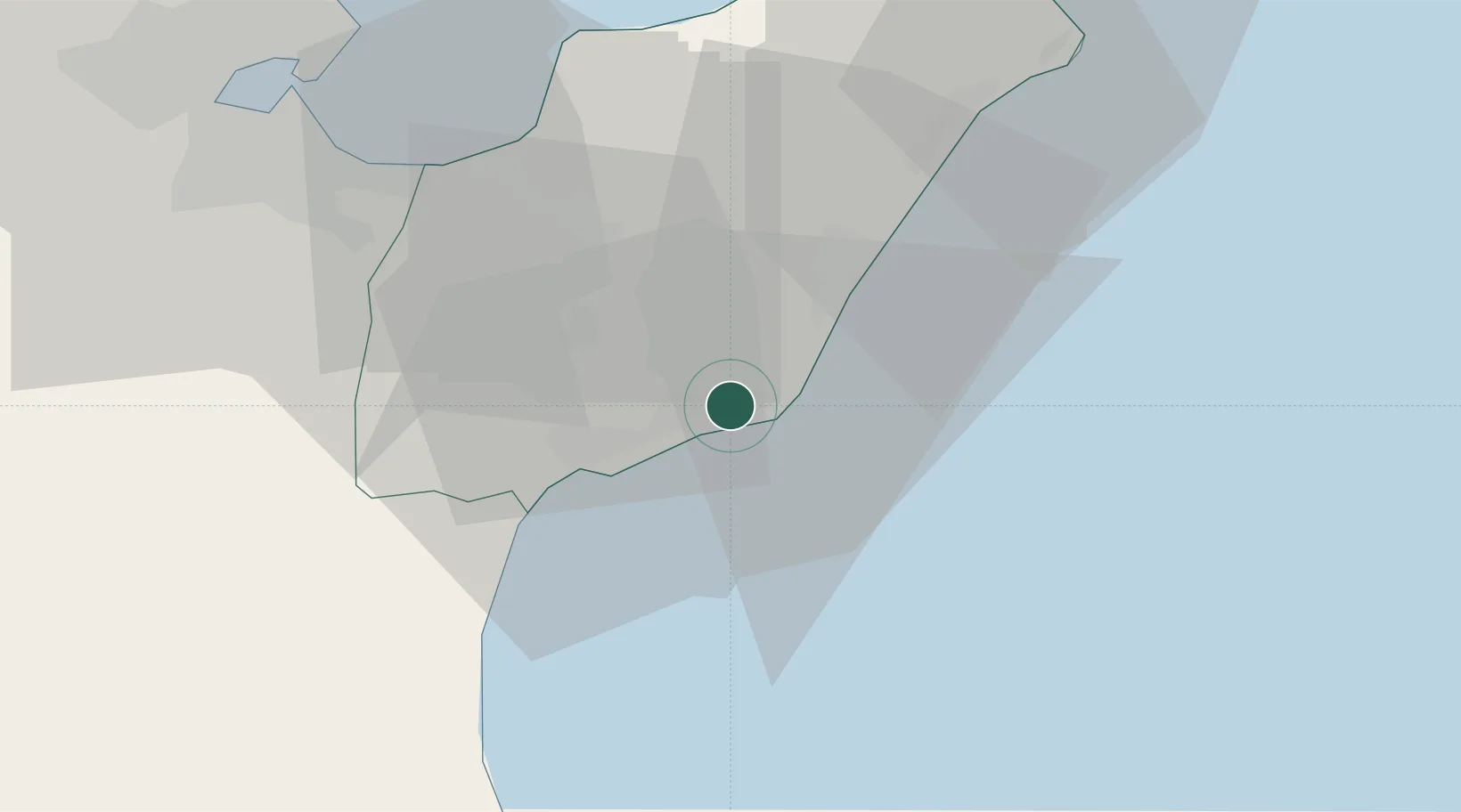
Hub Profile
Place type
Populated place
Region
Nabeul Governorate
Population
42,140
Time zone
Africa/Tunis
Elevation
22 m
Location
Nearby Logistics Neighbours
Cities
- 1Al Hammamat14 km
- 2Grombalia27 km
- 3Soliman34 km
- 4Borj Cedria41 km
- 5Zriba47 km
Ports
- 1La Goulette55 km
- 2Rades56 km
- 3Tunis58 km
- 4Sousse71 km
- 5Tazerka Oil Terminal85 km
Airports
Trade Zones
- 1Bizerte Park of Economic Activities119 km
- 2Zarzis Park of Economic Activities333 km
- 3Sicily Special Economic Zone Area336 km
- 4Malta Freeport348 km
- 5Free Zone of Portovesme365 km
DatabookThe Record of Consolidated Knowledge
Tunisia beyond logistics?