Transport Functions
Port
Road
Hub Profile
Region
11
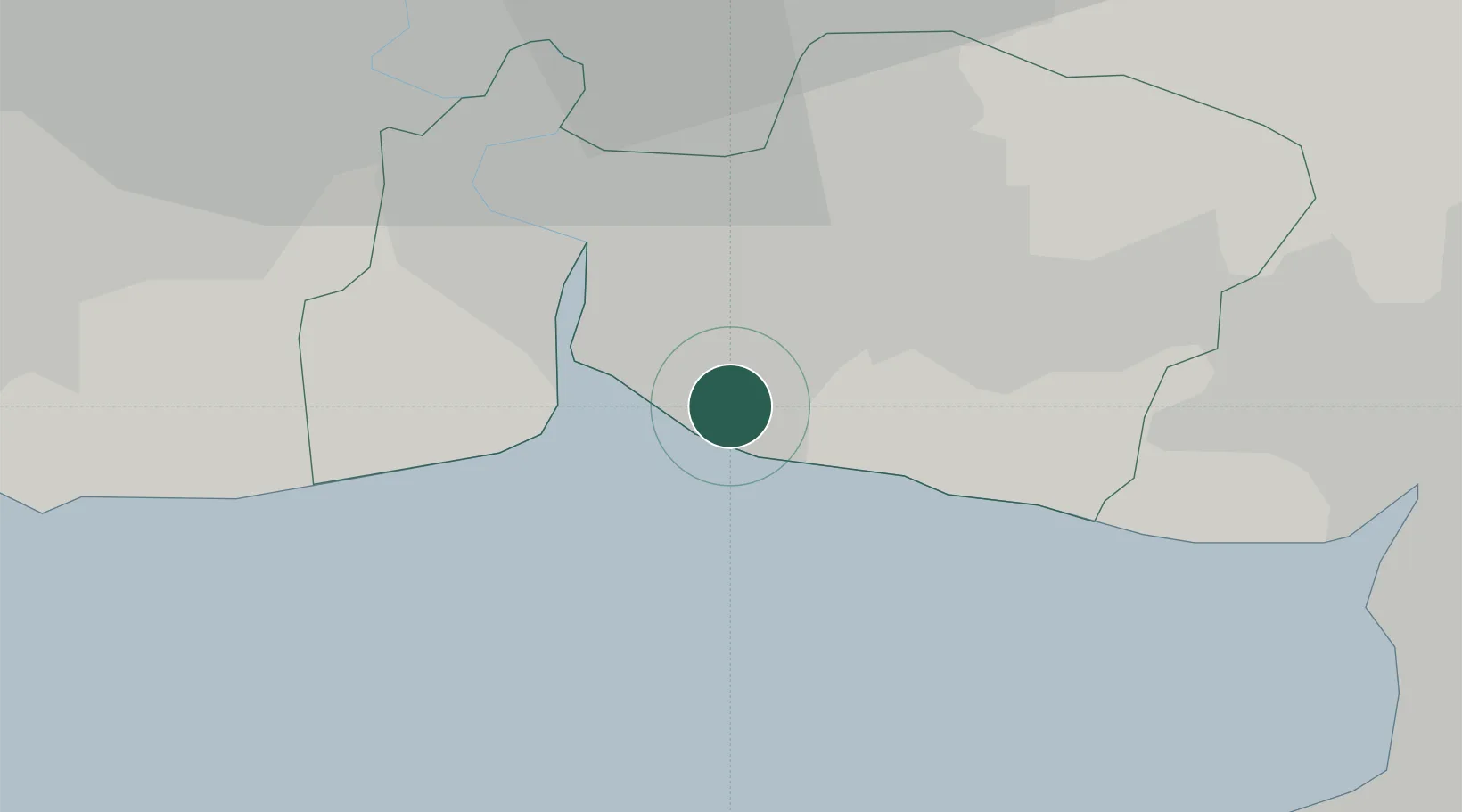
Location
Nearby Logistics Neighbours
Cities
- 1Unithai Container Terminal11 km
- 2Bangkok Modern Terminals/Bangkok13 km
- 3Nim Port13 km
- 4Pak Nam13 km
- 5Phra Pradaeng16 km
Ports
- 1Bangkok30 km
- 2Ko Si Chang Terminal44 km
- 3Si Racha Terminal49 km
- 4Siam Seaport50 km
- 5Laem Chabang55 km
Airports
Trade Zones
DatabookThe Record of Consolidated Knowledge
Thailand beyond logistics?