Medium airport · Madagascar

Tôlanaro AirportFMSD
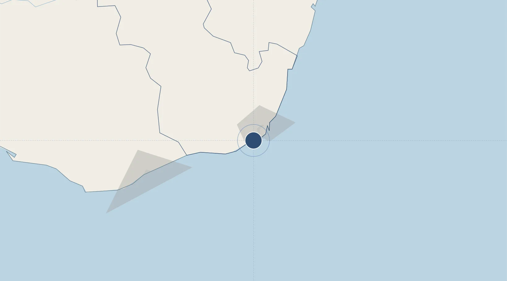
-25.0381°, 46.9561°
5,280 ft
Longest runway
1
Runways
29 ft
Elevation

Runway & Layout

Tôlanaro Airport runway & taxiway layout
Runway & taxiway layout — OpenStreetMap (ODbL) / OurAirports

Radio Frequencies

AFIS
118.7 MHz
OurAirports

Navaids

VSP NDB Tolagnaro 282 kHz
OurAirports

Runways · 1

RunwayDimensions SurfaceTrue headingLit
08/26 5,280 × 98ft Asphalt 053°
OurAirports

Airport Specifications

IATA code
FTU
OurAirports
ICAO code
FMSD
OurAirports
Airport class
Medium airport
OurAirports
Scheduled service
Yes
OurAirports
Runway surface
Asphalt
OurAirports
Served city
Tôlanaro
OurAirports

Location

Location of FMSD
Natural Earth 10m (public domain) · Anosy · FMSD · -25.04, 46.96GoogleOSMYandex

Nearby Logistics Neighbours

Airports
  1. 1Manakara Airport342 km
  2. 2Toliara Airport376 km
  3. 3Fianarantsoa Airport400 km
  4. 4Mananjary Airport450 km
  5. 5Morombe Airport517 km
Nearest neighbours — logibook spatial index (haversine) over the source coordinates
Cities
  1. 1Ehoala3 km
  2. 2Amboasary Sud58 km
  3. 3Tulear (Toliara)381 km
  4. 4Tamatave (Toamasina)807 km
  5. 5Saint-Paul962 km
Nearest neighbours — logibook spatial index (haversine) over the source coordinates
Ports
  1. 1Tolanaro5 km
  2. 2Manakara343 km
  3. 3Toliara382 km
  4. 4Mananjary444 km
  5. 5Morondava595 km
Nearest neighbours — logibook spatial index (haversine) over the source coordinates
Trade Zones
  1. 1Ehoala Park3 km
  2. 2Betsinjaka Special Economic Zone378 km
  3. 3Moramanga Textile City Zone691 km
  4. 4Tsarakofafa Special Economic Zone805 km
  5. 5Toamasina Autonomous Port807 km
Nearest neighbours — logibook spatial index (haversine) over the source coordinates
DatabookThe Record of Consolidated Knowledge
Madagascar beyond logistics?
Browse databook

All Sources

AirportsOurAirports
Public domain
Portsthe NGA World Port Index
Public domain (US gov)
LocationsUN/LOCODE
UN/LOCODE — free
Trade Zonesthe World Bank SEZ database
CC BY 4.0
Trade ZonesOpen Zone Map
CC BY
InfrastructureOpenStreetMap
ODbL 1.0
← Madagascar airports