Transport Functions
Multimodal
Hub Profile
Place type
Populated place
Region
Žilina Region
Time zone
Europe/Bratislava
Elevation
445 m
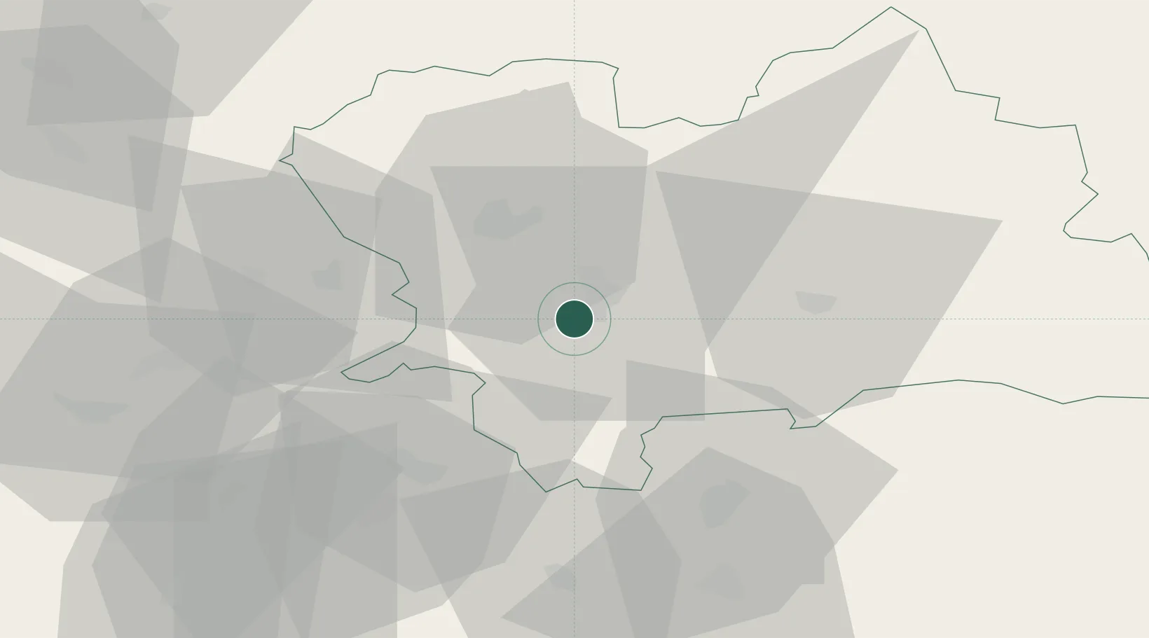
Location
Nearby Logistics Neighbours
Cities
- 1Vrutky8 km
- 2Varín17 km
- 3Rajecke Teplice17 km
- 4Lietavska Lucka18 km
- 5Gbelany19 km
Ports
- 1Bakar531 km
- 2Rijeka Luka533 km
- 3Omisalj538 km
- 4Trieste541 km
- 5Monfalcone541 km
Airports
- 1Žilina-Dolný Hričov Airport28 km
- 2Sliač Airport49 km
- 3Piešťany Airport91 km
- 4Leoš Janáček Airport Ostrava91 km
- 5Poprad-Tatry Airport99 km
Trade Zones
DatabookThe Record of Consolidated Knowledge
Slovakia beyond logistics?