Transport Functions
Rail
Road
Hub Profile
Place type
Provincial seat
Region
Banská Bystrica Region
Population
5,178
Time zone
Europe/Bratislava
Elevation
246 m
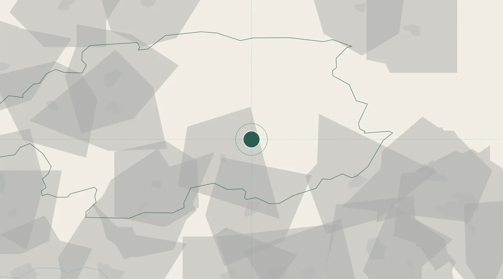
Location
Nearby Logistics Neighbours
Cities
- 1Rimavske Zaluzany12 km
- 2Hnústa21 km
- 3Praha22 km
- 4Radzovce24 km
- 5Ipolytarnóc25 km
Ports
- 1Bakar531 km
- 2Rijeka Luka534 km
- 3Senj535 km
- 4Omisalj536 km
- 5Trieste553 km
Airports
- 1Sliač Airport54 km
- 2Poprad-Tatry Airport78 km
- 3Košice International Airport109 km
- 4Budapest Liszt Ferenc International Airport119 km
- 5Žilina-Dolný Hričov Airport124 km
Trade Zones
DatabookThe Record of Consolidated Knowledge
Slovakia beyond logistics?