Transport Functions
Rail
Road
Hub Profile
Place type
Provincial seat
Region
Zagreb County
Population
1,363
Time zone
Europe/Zagreb
Elevation
131 m
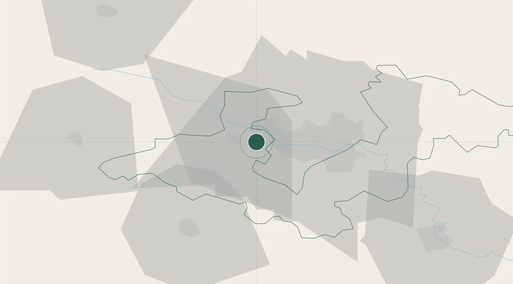
Location
Nearby Logistics Neighbours
Cities
- 1Bestovje3 km
- 2Kalinovica4 km
- 3Gornji Stupnik6 km
- 4Zagreb9 km
- 5Hrvatski Leskovac11 km
Ports
- 1Bakar112 km
- 2Senj114 km
- 3Omisalj116 km
- 4Rijeka Luka117 km
- 5Zaliv Rasa158 km
Airports
Trade Zones
- 1PJ Free Zone Zagreb7 km
- 2Krapina-Zagorje Free Zone40 km
- 3Sjever Free Zone69 km
- 4Free Zone Kukuljanovo112 km
- 5Port of Rijeka Free Zone137 km
DatabookThe Record of Consolidated Knowledge
Croatia beyond logistics?