Transport Functions
Rail
Road
Border Crossing
Hub Profile
Place type
Populated place
Region
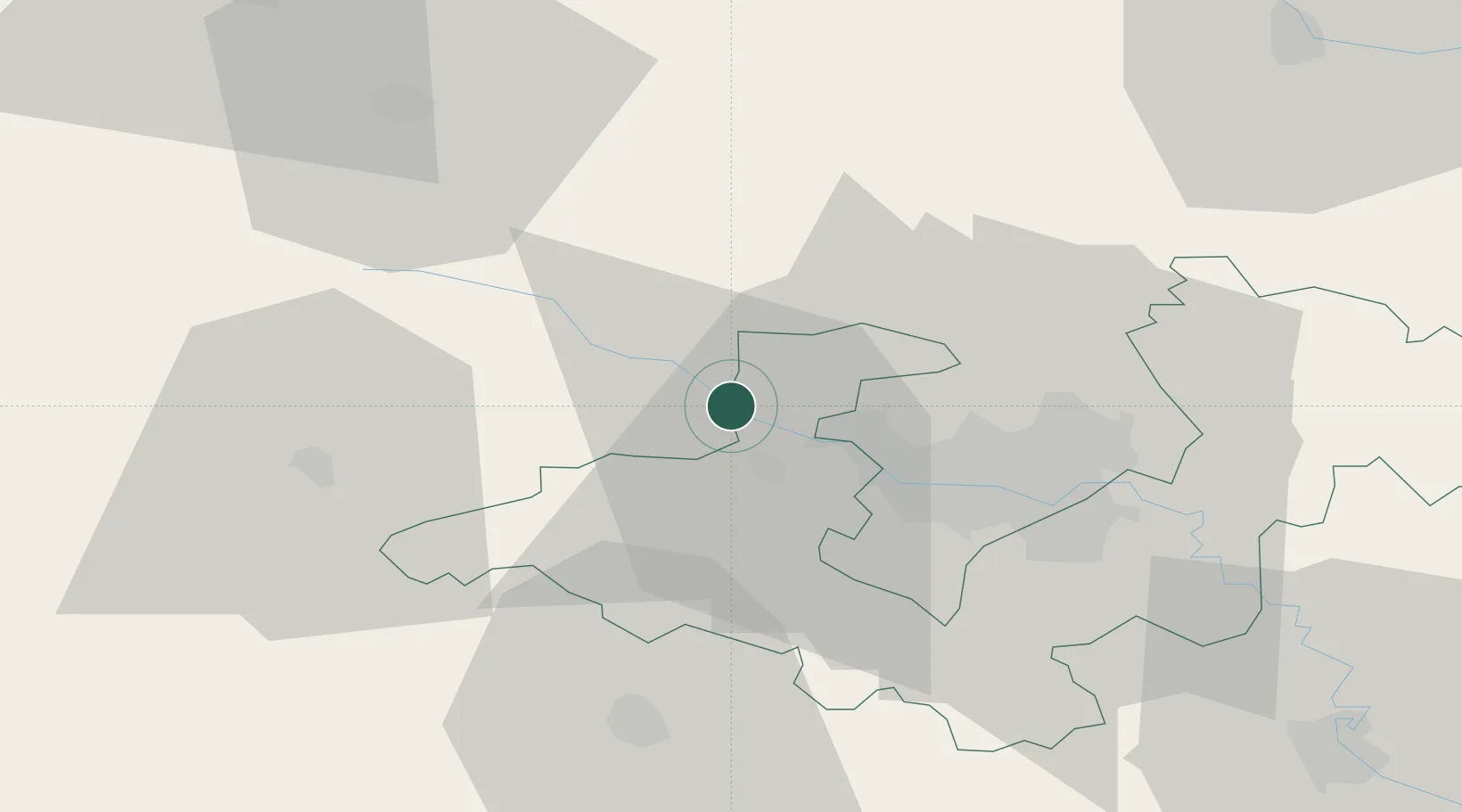
Brežice
Population
744
Time zone
Europe/Ljubljana
Elevation
142 m
Location
Nearby Logistics Neighbours
Cities
- 1Brezice7 km
- 2Sveta Nedjelja13 km
- 3Zdole14 km
- 4Bestovje15 km
- 5Kalinovica16 km
Ports
- 1Bakar110 km
- 2Rijeka Luka114 km
- 3Omisalj114 km
- 4Senj117 km
- 5Muggia151 km
Airports
Trade Zones
- 1PJ Free Zone Zagreb19 km
- 2Krapina-Zagorje Free Zone34 km
- 3Sjever Free Zone69 km
- 4Free Zone Kukuljanovo109 km
- 5Port of Rijeka Free Zone134 km
DatabookThe Record of Consolidated Knowledge
Slovenia beyond logistics?