Transport Functions
Port
Road
Hub Profile
Place type
Populated place
Region
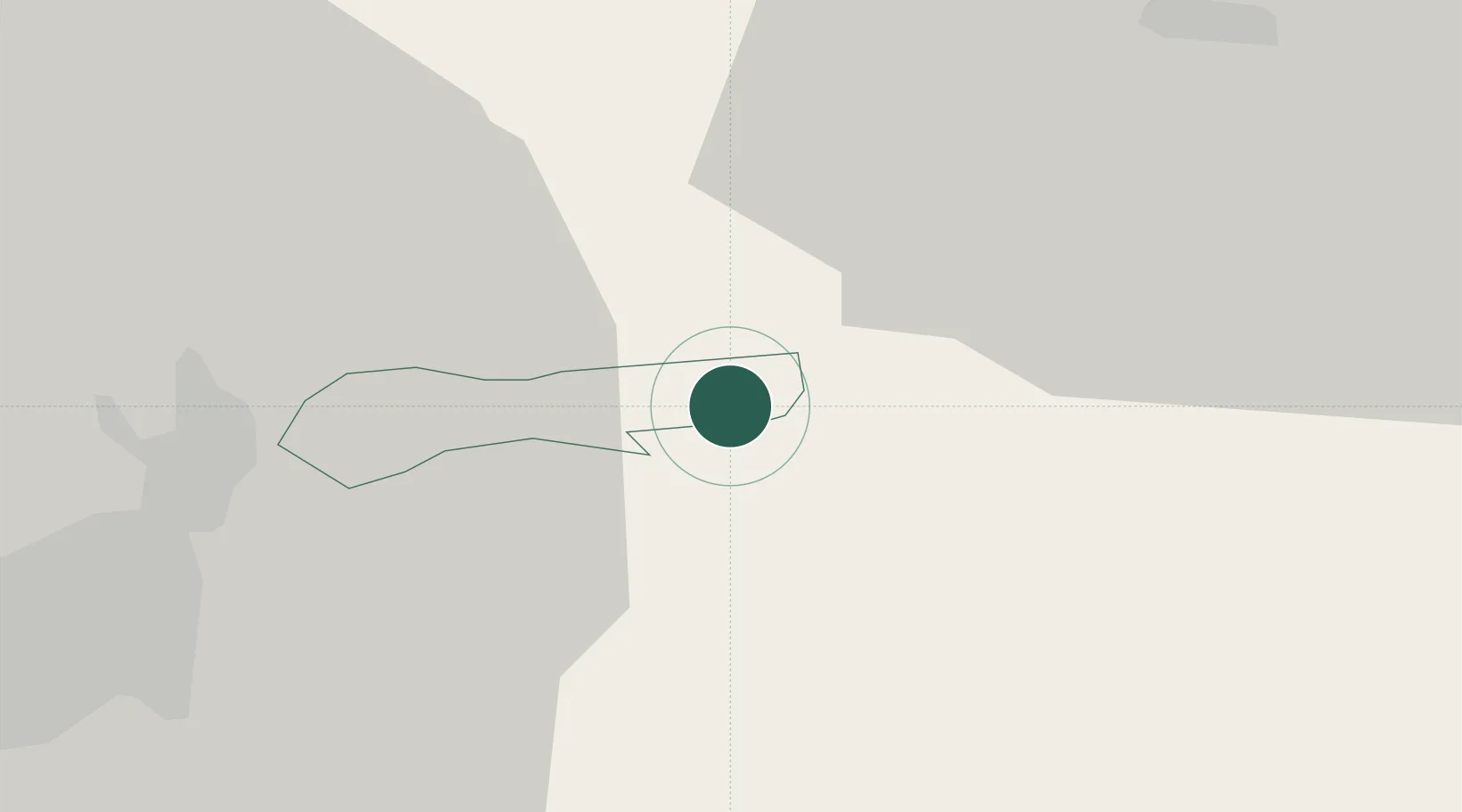
Lukovica
Population
107
Time zone
Europe/Ljubljana
Elevation
563 m
Location
Nearby Logistics Neighbours
Cities
- 1Vransko9 km
- 2Zagorje ob Savi12 km
- 3Litija15 km
- 4Hrastnik17 km
- 5Dol pri Hrastniku19 km
Ports
- 1Rijeka Luka100 km
- 2Bakar102 km
- 3Trieste105 km
- 4Muggia107 km
- 5Omisalj110 km
Airports
- 1Ljubljana Jože Pučnik Airport32 km
- 2Cerklje ob Krki Air Base60 km
- 3Klagenfurt Airport65 km
- 4Maribor Edvard Rusjan Airport71 km
- 5Graz Airport100 km
Trade Zones
- 1Krapina-Zagorje Free Zone78 km
- 2PJ Free Zone Zagreb89 km
- 3Free Zone Kukuljanovo98 km
- 4Free Port of Trieste105 km
- 5Sjever Free Zone114 km
DatabookThe Record of Consolidated Knowledge
Slovenia beyond logistics?