Transport Functions
Multimodal
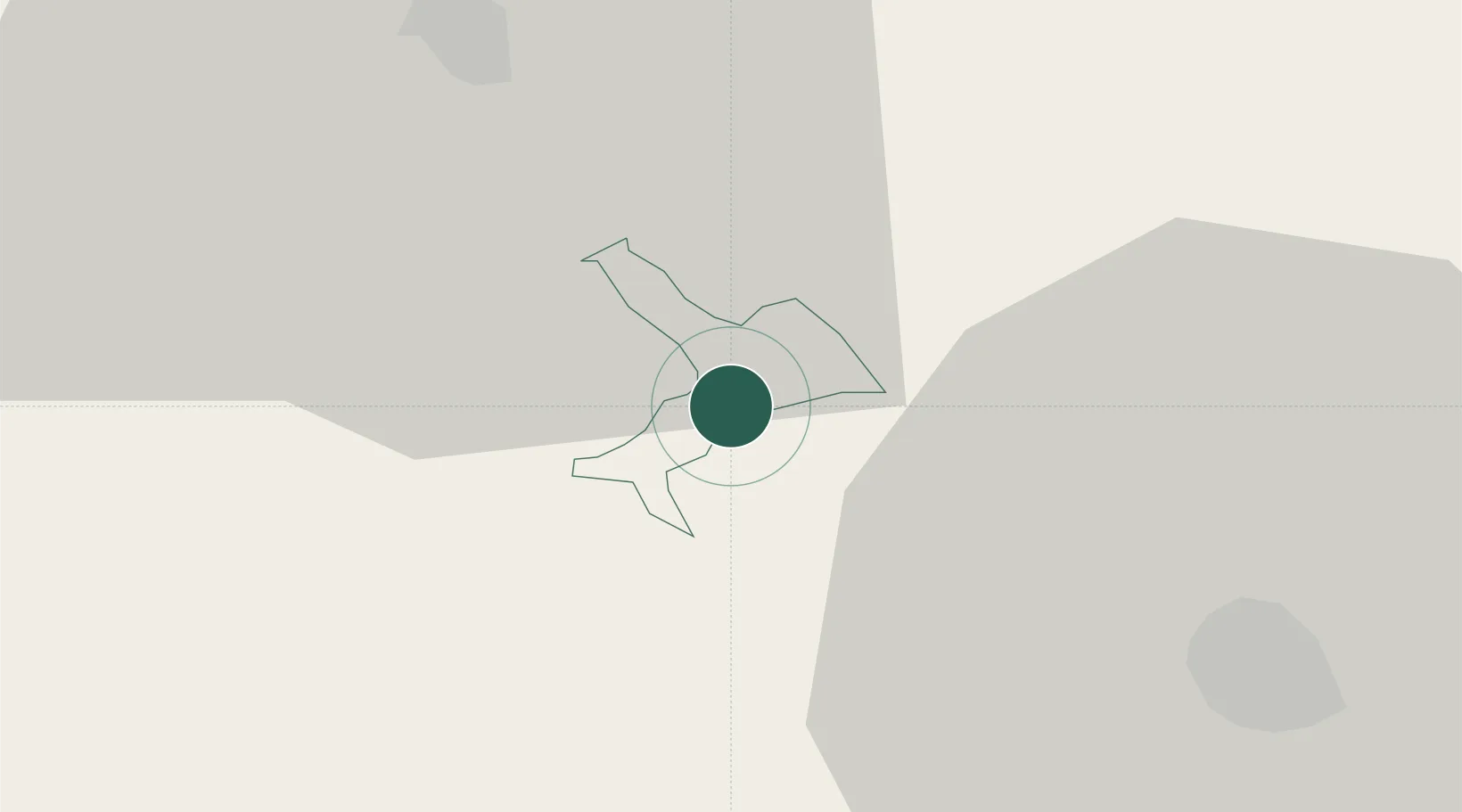
Hub Profile
Place type
Regional capital
Region
Metlika
Population
3,206
Time zone
Europe/Ljubljana
Elevation
151 m
Location
Nearby Logistics Neighbours
Cities
- 1Semic10 km
- 2Crnomelj12 km
- 3Novo Mesto21 km
- 4Straza23 km
- 5Gorenja Straza24 km
Ports
- 1Bakar70 km
- 2Omisalj75 km
- 3Rijeka Luka75 km
- 4Senj79 km
- 5Zaliv Rasa116 km
Airports
Trade Zones
- 1PJ Free Zone Zagreb48 km
- 2Free Zone Kukuljanovo70 km
- 3Krapina-Zagorje Free Zone73 km
- 4Port of Rijeka Free Zone95 km
- 5Sjever Free Zone109 km
DatabookThe Record of Consolidated Knowledge
Slovenia beyond logistics?