Transport Functions
Multimodal
Hub Profile
Place type
Regional capital
Region
Straža
Population
1,996
Time zone
Europe/Ljubljana
Elevation
175 m
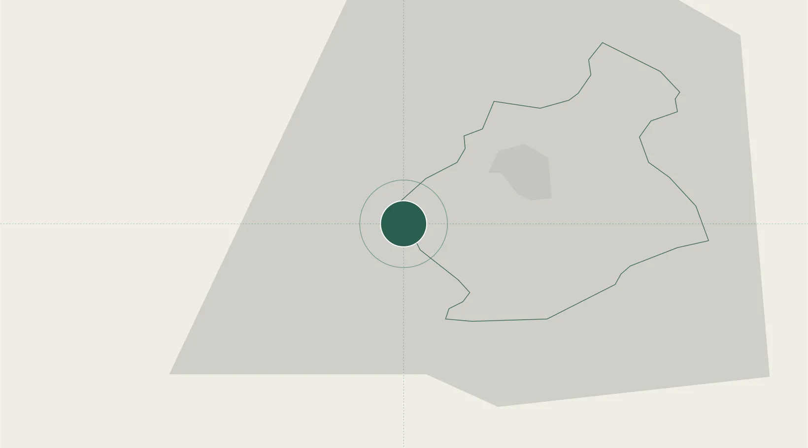
Location
Nearby Logistics Neighbours
Cities
- 1Gorenja Straza2 km
- 2Novo Mesto10 km
- 3Zuzemberk14 km
- 4Semic17 km
- 5Zagradec20 km
Ports
- 1Bakar67 km
- 2Rijeka Luka69 km
- 3Omisalj73 km
- 4Senj88 km
- 5Muggia103 km
Airports
Trade Zones
- 1PJ Free Zone Zagreb63 km
- 2Free Zone Kukuljanovo65 km
- 3Krapina-Zagorje Free Zone76 km
- 4Port of Rijeka Free Zone90 km
- 5Free Port of Trieste103 km
DatabookThe Record of Consolidated Knowledge
Slovenia beyond logistics?