Transport Functions
Multimodal
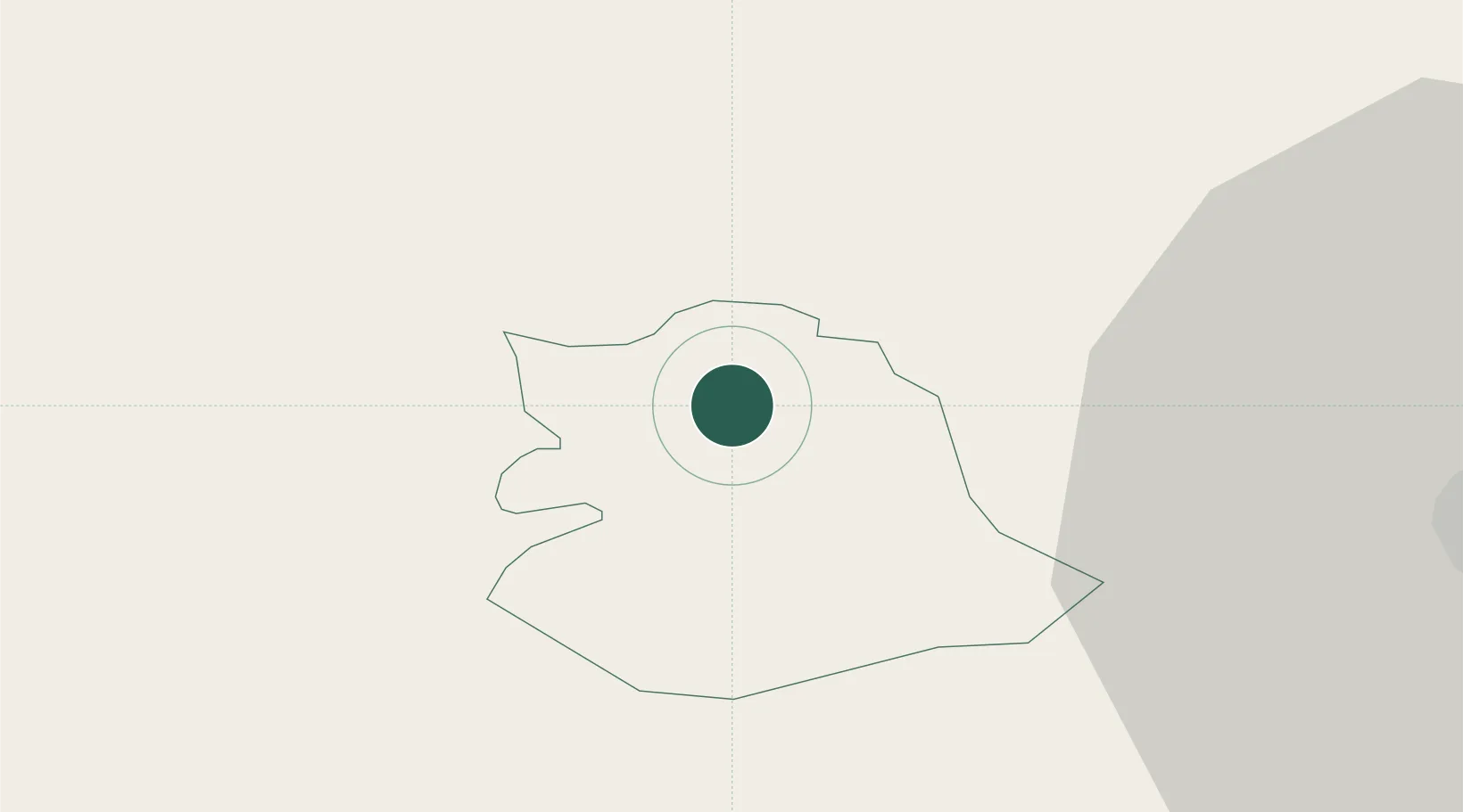
Hub Profile
Place type
Regional capital
Region
Črnomelj Municipality
Population
5,496
Time zone
Europe/Ljubljana
Elevation
167 m
Location
Nearby Logistics Neighbours
Cities
- 1Semic8 km
- 2Metlika12 km
- 3Straza24 km
- 4Gorenja Straza25 km
- 5Novo Mesto26 km
Ports
- 1Bakar59 km
- 2Omisalj63 km
- 3Rijeka Luka64 km
- 4Senj69 km
- 5Zaliv Rasa105 km
Airports
Trade Zones
- 1Free Zone Kukuljanovo58 km
- 2PJ Free Zone Zagreb60 km
- 3Port of Rijeka Free Zone83 km
- 4Krapina-Zagorje Free Zone84 km
- 5Free Port of Trieste112 km
DatabookThe Record of Consolidated Knowledge
Slovenia beyond logistics?