Transport Functions
Multimodal
Hub Profile
Place type
Regional capital
Region
Semič
Population
2,000
Time zone
Europe/Ljubljana
Elevation
214 m
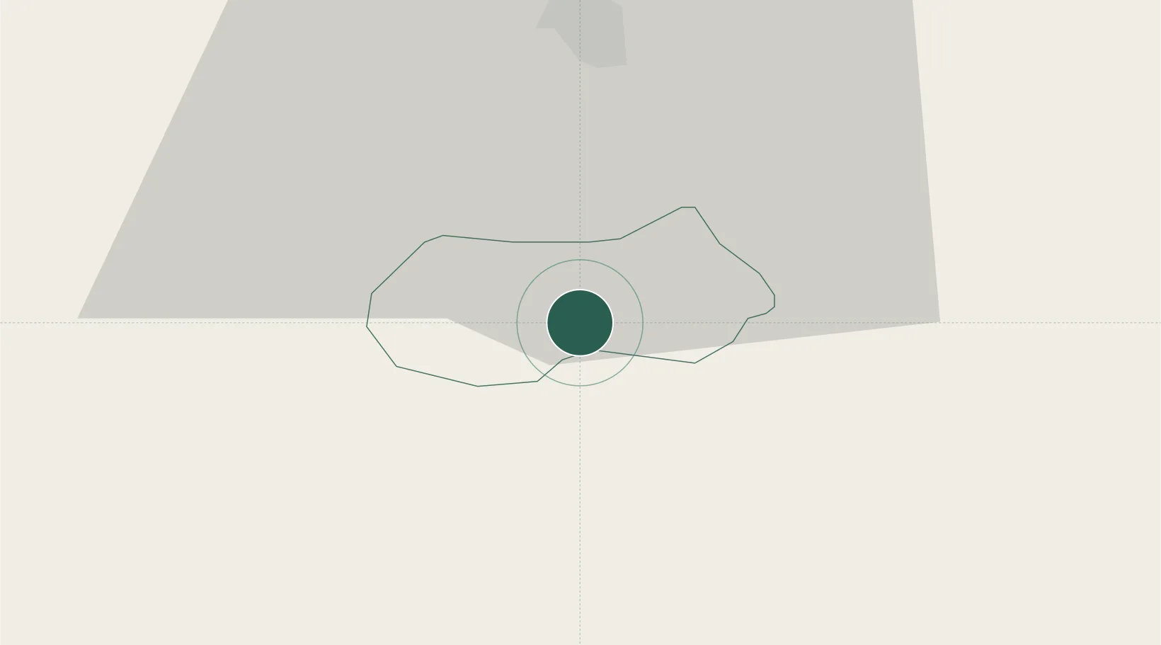
Location
Nearby Logistics Neighbours
Cities
- 1Crnomelj8 km
- 2Metlika10 km
- 3Straza17 km
- 4Gorenja Straza18 km
- 5Novo Mesto19 km
Ports
- 1Bakar62 km
- 2Rijeka Luka66 km
- 3Omisalj67 km
- 4Senj75 km
- 5Zaliv Rasa108 km
Airports
Trade Zones
- 1PJ Free Zone Zagreb58 km
- 2Free Zone Kukuljanovo61 km
- 3Krapina-Zagorje Free Zone80 km
- 4Port of Rijeka Free Zone86 km
- 5Free Port of Trieste110 km
DatabookThe Record of Consolidated Knowledge
Slovenia beyond logistics?