Transport Functions
Rail
Road
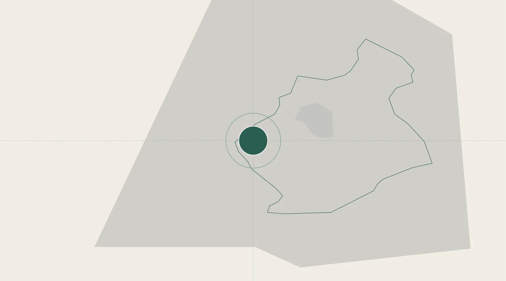
Location
Nearby Logistics Neighbours
Cities
- 1Straza2 km
- 2Novo Mesto8 km
- 3Zuzemberk14 km
- 4Semic18 km
- 5Zagradec21 km
Ports
- 1Bakar69 km
- 2Rijeka Luka71 km
- 3Omisalj76 km
- 4Senj90 km
- 5Muggia104 km
Airports
Trade Zones
- 1PJ Free Zone Zagreb62 km
- 2Free Zone Kukuljanovo67 km
- 3Krapina-Zagorje Free Zone74 km
- 4Port of Rijeka Free Zone92 km
- 5Free Port of Trieste104 km
DatabookThe Record of Consolidated Knowledge
Slovenia beyond logistics?