Transport Functions
Road
Multimodal
Hub Profile
Place type
Regional capital
Region
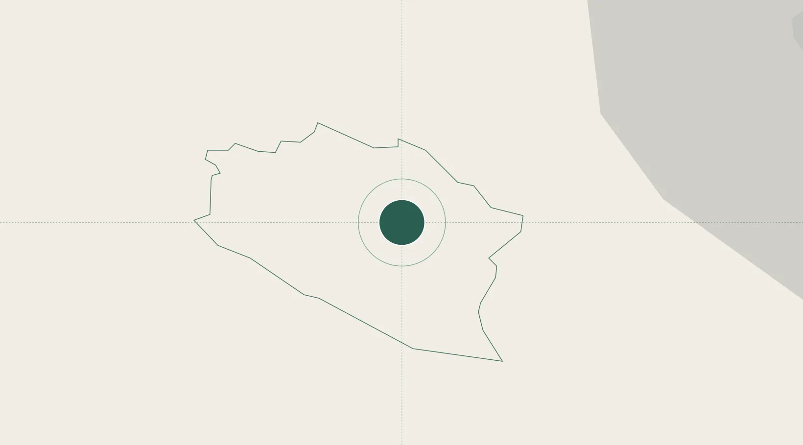
Idrija
Population
5,955
Time zone
Europe/Ljubljana
Elevation
441 m
Location
Nearby Logistics Neighbours
Cities
- 1Ziri4 km
- 2Podnanos25 km
- 3Nova Gorica25 km
- 4Selca27 km
- 5Skofja Loka28 km
Ports
- 1Monfalcone45 km
- 2Trieste45 km
- 3Muggia49 km
- 4Koper55 km
- 5Piran63 km
Airports
- 1Ljubljana Jože Pučnik Airport41 km
- 2Trieste Airport48 km
- 3Portorož Airport67 km
- 4Klagenfurt Airport75 km
- 5Udine-Rivolto Air Base76 km
Trade Zones
- 1Free Port of Trieste45 km
- 2Free Zone Kukuljanovo83 km
- 3Port of Rijeka Free Zone91 km
- 4Port of Pula Free Zone127 km
- 5Krapina-Zagorje Free Zone143 km
DatabookThe Record of Consolidated Knowledge
Slovenia beyond logistics?