Transport Functions
Port
Hub Profile
Place type
Populated place
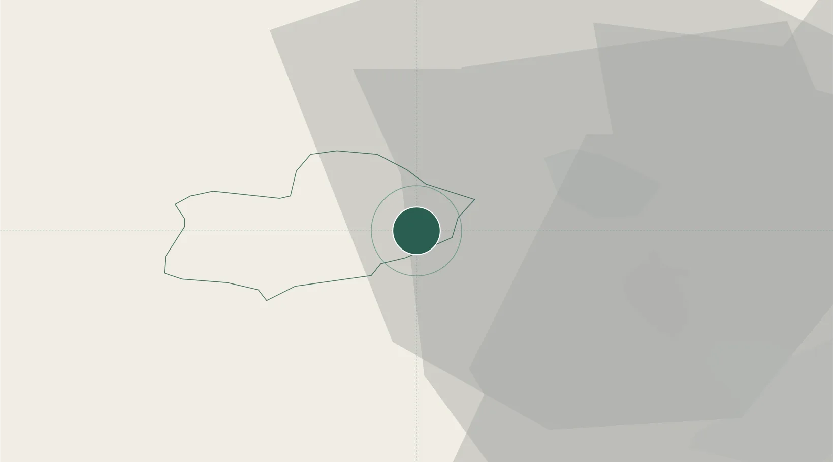
Region
Železniki Municipality
Population
666
Time zone
Europe/Ljubljana
Elevation
469 m
Location
Nearby Logistics Neighbours
Cities
- 1Zgornja Besnica9 km
- 2Skofja Loka10 km
- 3Zabnica10 km
- 4Naklo12 km
- 5Krize15 km
Ports
- 1Monfalcone70 km
- 2Trieste72 km
- 3Muggia76 km
- 4Koper83 km
- 5Piran90 km
Airports
- 1Ljubljana Jože Pučnik Airport20 km
- 2Klagenfurt Airport49 km
- 3Trieste Airport71 km
- 4Udine-Rivolto Air Base93 km
- 5Portorož Airport94 km
Trade Zones
- 1Free Port of Trieste72 km
- 2Free Zone Kukuljanovo101 km
- 3Port of Rijeka Free Zone114 km
- 4Krapina-Zagorje Free Zone129 km
- 5PJ Free Zone Zagreb138 km
DatabookThe Record of Consolidated Knowledge
Slovenia beyond logistics?