Transport Functions
Multimodal
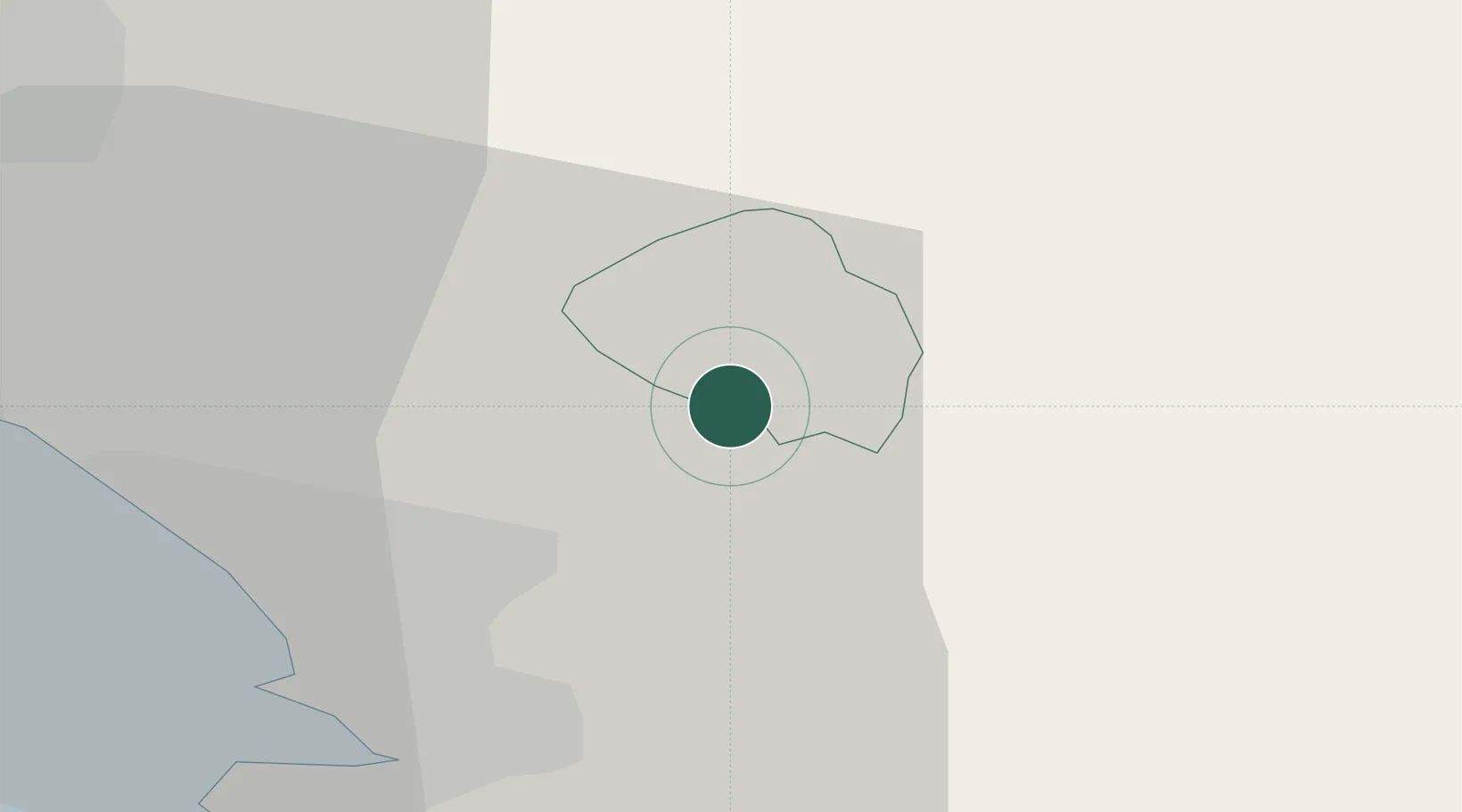
Hub Profile
Place type
Populated place
Region
Vipava
Population
395
Time zone
Europe/Ljubljana
Elevation
175 m
Location
Nearby Logistics Neighbours
Cities
- 1Grize5 km
- 2Senozece9 km
- 3Vremski Britof15 km
- 4Dolnja Kosana19 km
- 5Pivka21 km
Ports
- 1Trieste23 km
- 2Muggia26 km
- 3Koper32 km
- 4Monfalcone32 km
- 5Piran42 km
Airports
- 1Trieste Airport39 km
- 2Portorož Airport44 km
- 3Ljubljana Jože Pučnik Airport62 km
- 4Udine-Rivolto Air Base74 km
- 5Rijeka Airport79 km
Trade Zones
- 1Free Port of Trieste23 km
- 2Free Zone Kukuljanovo65 km
- 3Port of Rijeka Free Zone70 km
- 4Port of Pula Free Zone103 km
- 5Free Port of Venice135 km
DatabookThe Record of Consolidated Knowledge
Slovenia beyond logistics?