Transport Functions
Multimodal
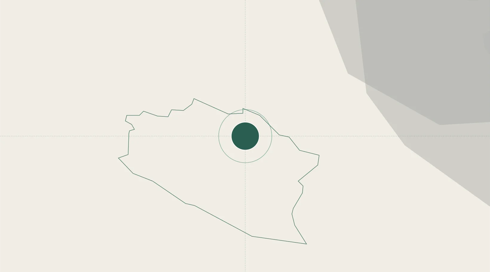
Hub Profile
Place type
Regional capital
Region
Žiri
Population
3,588
Time zone
Europe/Ljubljana
Elevation
486 m
Location
Nearby Logistics Neighbours
Cities
- 1Idrija4 km
- 2Selca24 km
- 3Skofja Loka25 km
- 4Nova Gorica26 km
- 5Zabnica28 km
Ports
- 1Monfalcone47 km
- 2Trieste48 km
- 3Muggia52 km
- 4Koper59 km
- 5Piran66 km
Airports
- 1Ljubljana Jože Pučnik Airport39 km
- 2Trieste Airport49 km
- 3Portorož Airport70 km
- 4Klagenfurt Airport72 km
- 5Udine-Rivolto Air Base76 km
Trade Zones
- 1Free Port of Trieste48 km
- 2Free Zone Kukuljanovo86 km
- 3Port of Rijeka Free Zone95 km
- 4Port of Pula Free Zone131 km
- 5Krapina-Zagorje Free Zone143 km
DatabookThe Record of Consolidated Knowledge
Slovenia beyond logistics?