UN/LOCODE hub · Slovenia
SILZD
Stari Trg pri Lozu
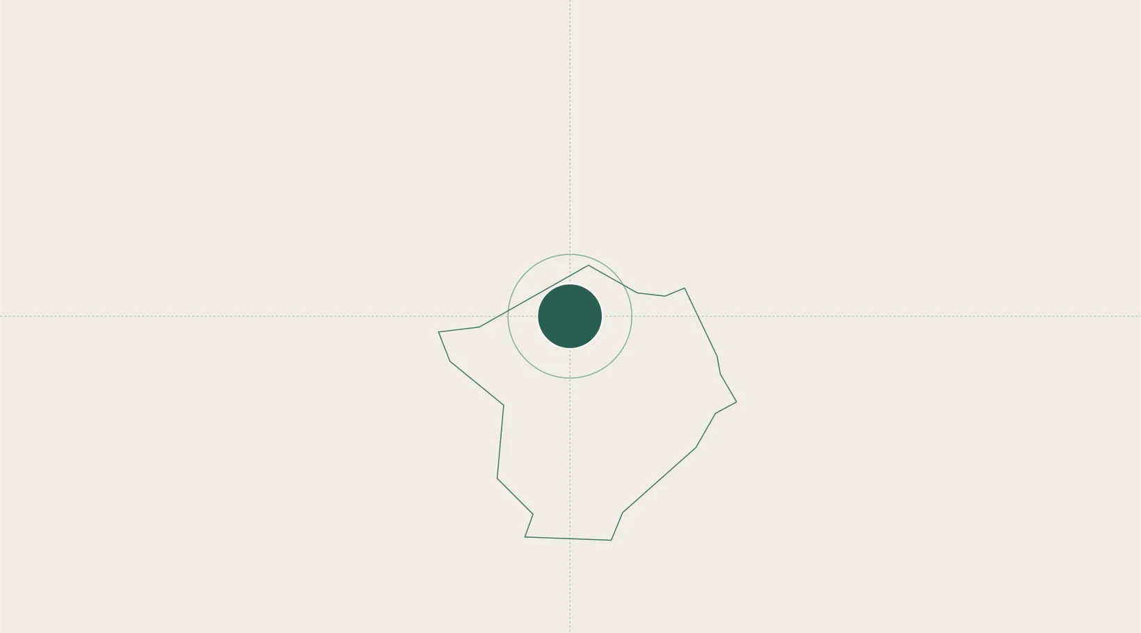
45.7167°, 14.4667°
864
Population
2
Transport functions
Transport Functions
Road
Multimodal
Hub Profile
Place type
Populated place
Region
Loška Dolina Municipality
Population
864
Time zone
Europe/Ljubljana
Elevation
587 m
Location
Nearby Logistics Neighbours
Cities
- 1Begunje pri Cerknici13 km
- 2Ribnica20 km
- 3Pivka21 km
- 4Ilirska Bistrica25 km
- 5Dolnja Kosana28 km
Ports
- 1Rijeka Luka43 km
- 2Bakar47 km
- 3Muggia56 km
- 4Omisalj56 km
- 5Trieste57 km
Airports
- 1Rijeka Airport56 km
- 2Ljubljana Jože Pučnik Airport56 km
- 3Portorož Airport72 km
- 4Trieste Airport78 km
- 5Cerklje ob Krki Air Base85 km
Trade Zones
- 1Free Zone Kukuljanovo43 km
- 2Free Port of Trieste56 km
- 3Port of Rijeka Free Zone60 km
- 4Port of Pula Free Zone107 km
- 5PJ Free Zone Zagreb110 km
DatabookThe Record of Consolidated Knowledge
Slovenia beyond logistics?