UN/LOCODE hub · Slovenia
SILZA
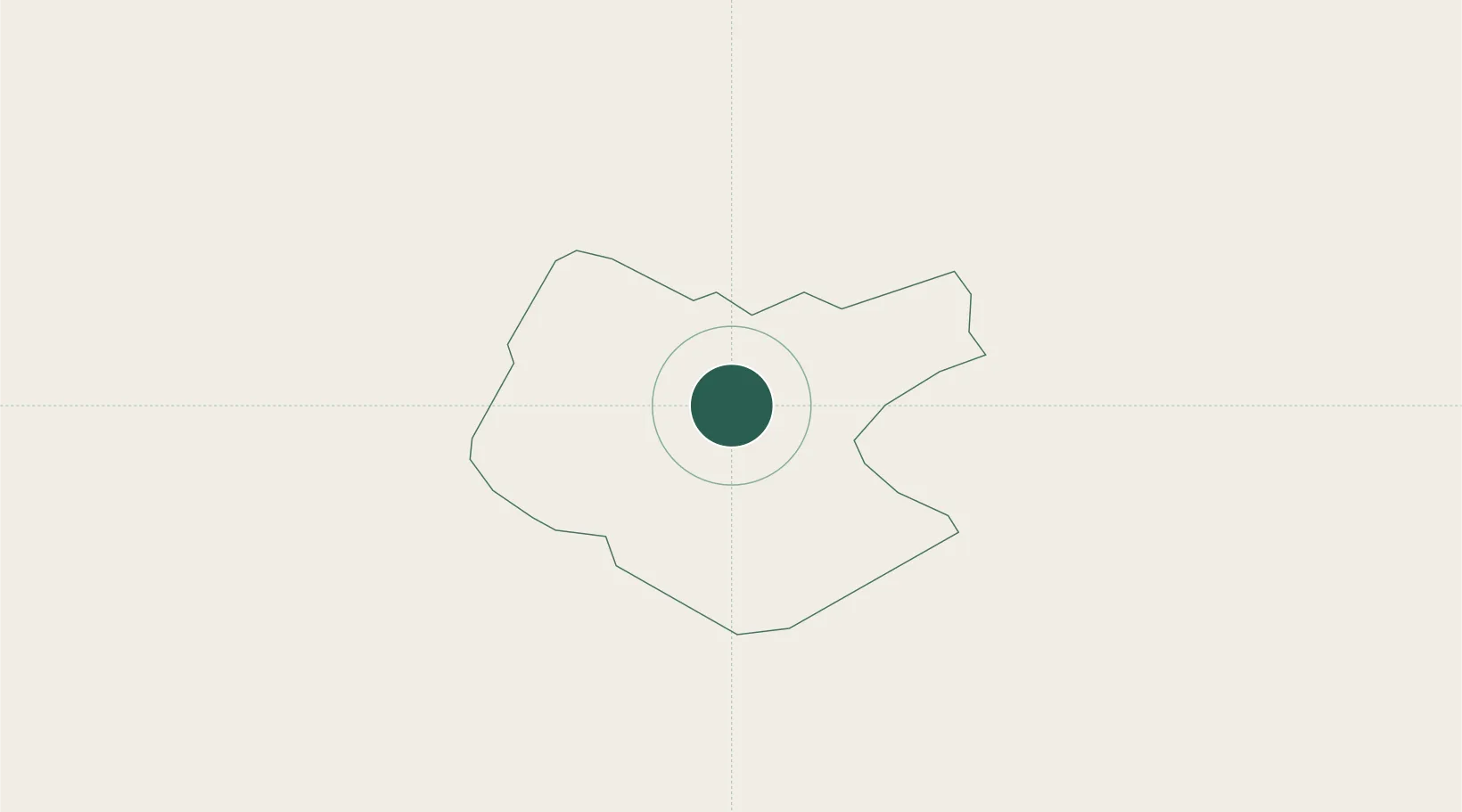
Begunje pri Cerknici
45.8167°, 14.3833°
658
Population
2
Transport functions
Transport Functions
Road
Multimodal
Hub Profile
Place type
Populated place
Region
Cerknica
Population
658
Time zone
Europe/Ljubljana
Elevation
613 m
Location
Nearby Logistics Neighbours
Cities
- 1Stari Trg pri Lozu13 km
- 2Pivka21 km
- 3Ribnica26 km
- 4Dolnja Kosana28 km
- 5Senozece29 km
Ports
- 1Trieste53 km
- 2Muggia54 km
- 3Rijeka Luka54 km
- 4Koper59 km
- 5Bakar59 km
Airports
- 1Ljubljana Jože Pučnik Airport46 km
- 2Rijeka Airport68 km
- 3Trieste Airport71 km
- 4Portorož Airport71 km
- 5Cerklje ob Krki Air Base89 km
Trade Zones
- 1Free Port of Trieste52 km
- 2Free Zone Kukuljanovo54 km
- 3Port of Rijeka Free Zone70 km
- 4Port of Pula Free Zone114 km
- 5PJ Free Zone Zagreb116 km
DatabookThe Record of Consolidated Knowledge
Slovenia beyond logistics?