Transport Functions
Rail
Road
Hub Profile
Place type
Regional capital
Region
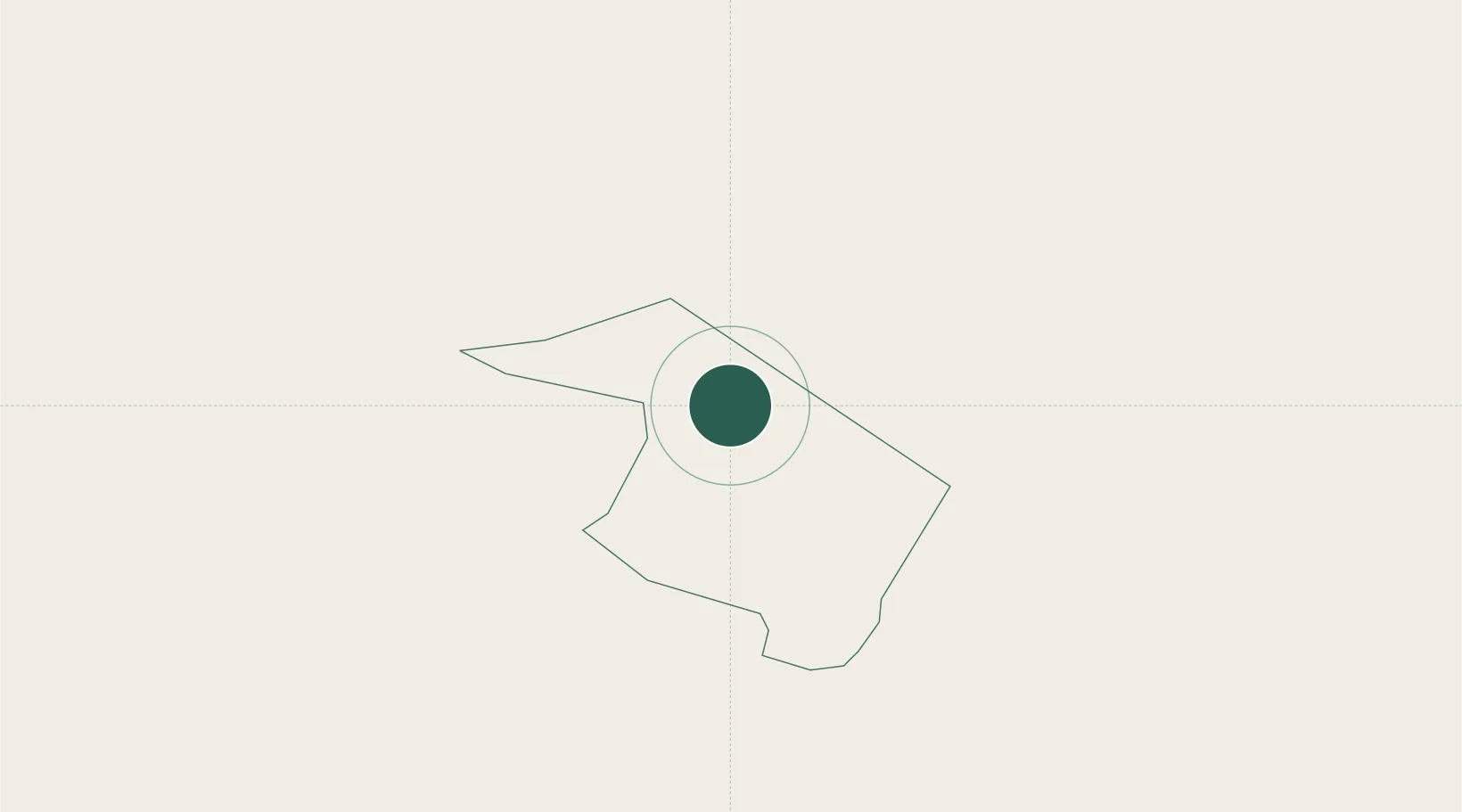
Ribnica
Population
3,604
Time zone
Europe/Ljubljana
Elevation
495 m
Location
Nearby Logistics Neighbours
Cities
- 1Zagradec13 km
- 2Zuzemberk17 km
- 3Nova Vas19 km
- 4Stari Trg pri Lozu20 km
- 5Begunje pri Cerknici26 km
Ports
- 1Rijeka Luka53 km
- 2Bakar54 km
- 3Omisalj63 km
- 4Muggia76 km
- 5Trieste77 km
Airports
- 1Ljubljana Jože Pučnik Airport55 km
- 2Rijeka Airport62 km
- 3Cerklje ob Krki Air Base65 km
- 4Portorož Airport92 km
- 5Trieste Airport97 km
Trade Zones
- 1Free Zone Kukuljanovo51 km
- 2Port of Rijeka Free Zone73 km
- 3Free Port of Trieste76 km
- 4PJ Free Zone Zagreb90 km
- 5Krapina-Zagorje Free Zone99 km
DatabookThe Record of Consolidated Knowledge
Slovenia beyond logistics?