Transport Functions
Rail
Road
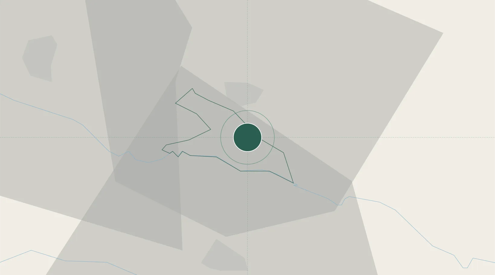
Hub Profile
Place type
Regional capital
Region
Lendava-Lendva
Population
3,129
Time zone
Europe/Ljubljana
Elevation
164 m
Location
Nearby Logistics Neighbours
Cities
- 1Lenti9 km
- 2Belica19 km
- 3Cakovec20 km
- 4Dragoslavec22 km
- 5Macinec23 km
Ports
- 1Bakar205 km
- 2Rijeka Luka208 km
- 3Omisalj210 km
- 4Senj213 km
- 5Trieste232 km
Airports
Trade Zones
- 1Sjever Free Zone32 km
- 2Krapina-Zagorje Free Zone64 km
- 3PJ Free Zone Zagreb96 km
- 4Duro Daković Free Zone197 km
- 5Free Zone Kukuljanovo203 km
DatabookThe Record of Consolidated Knowledge
Slovenia beyond logistics?