Transport Functions
Port
Rail
Road
Airport
Hub Profile
Place type
Populated place
Region
Skåne
Time zone
Europe/Stockholm
Elevation
123 m
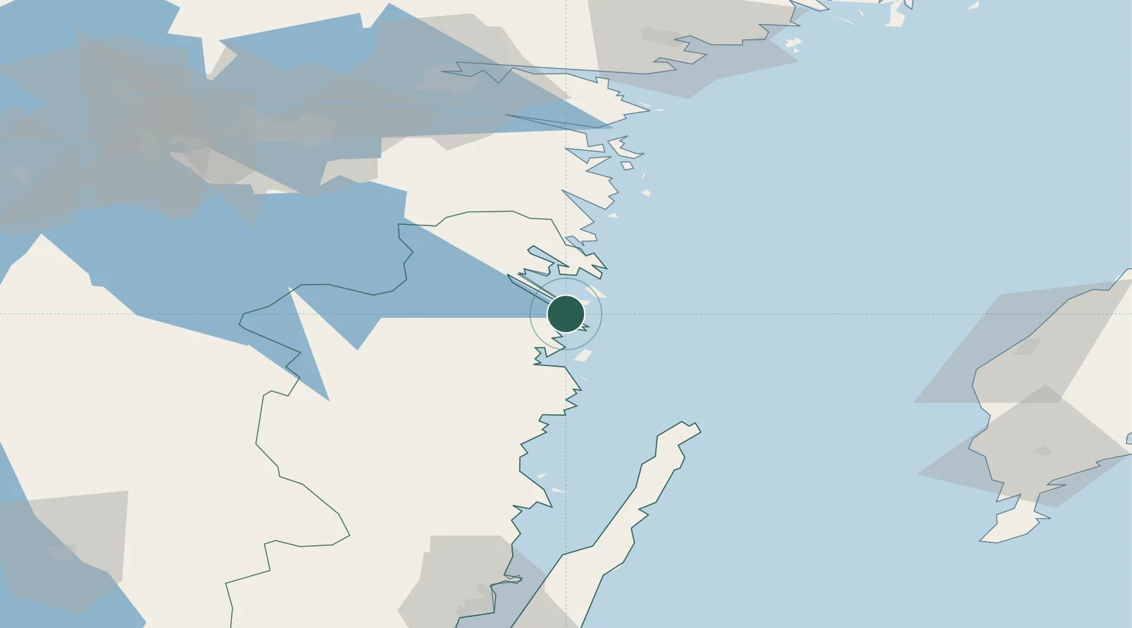
Location
Nearby Logistics Neighbours
Ports
- 1Verkeback6 km
- 2Figeholm43 km
- 3Oskarshamn55 km
- 4Stora Jatterson72 km
- 5Norrkoping96 km
Airports
- 1Linköping City Airport92 km
- 2Norrköping Airport96 km
- 3Malmen Air Base97 km
- 4Visby Airport102 km
- 5Stockholm Skavsta Airport117 km
Trade Zones
- 1Jönköping Free Zone151 km
- 2Stockholm Free Zone197 km
- 3Free port of Ventspils294 km
- 4Liepāja SEZ310 km
- 5MTS Malmö Transport and Spedition322 km
DatabookThe Record of Consolidated Knowledge
Sweden beyond logistics?