Transport Functions
Rail
Road
Hub Profile
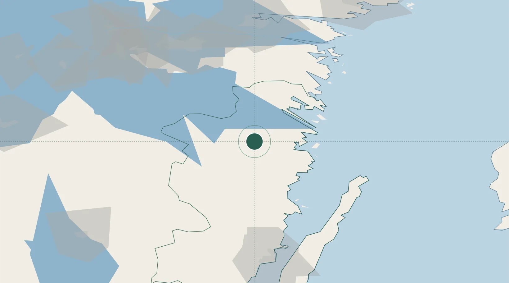
Place type
Populated place
Region
Kalmar
Population
237
Time zone
Europe/Stockholm
Elevation
87 m
Location
Nearby Logistics Neighbours
Ports
- 1Verkeback23 km
- 2Vastervik31 km
- 3Figeholm35 km
- 4Oskarshamn43 km
- 5Stora Jatterson63 km
Airports
- 1Linköping City Airport91 km
- 2Malmen Air Base94 km
- 3Kalmar Airport106 km
- 4Norrköping Airport106 km
- 5Växjö Kronoberg Airport118 km
Trade Zones
- 1Jönköping Free Zone126 km
- 2Stockholm Free Zone221 km
- 3MTS Malmö Transport and Spedition295 km
- 4Freeport of Copenhagen- Nordhavn306 km
- 5Free port of Ventspils319 km
DatabookThe Record of Consolidated Knowledge
Sweden beyond logistics?