Transport Functions
Port
Rail
Road
Hub Profile
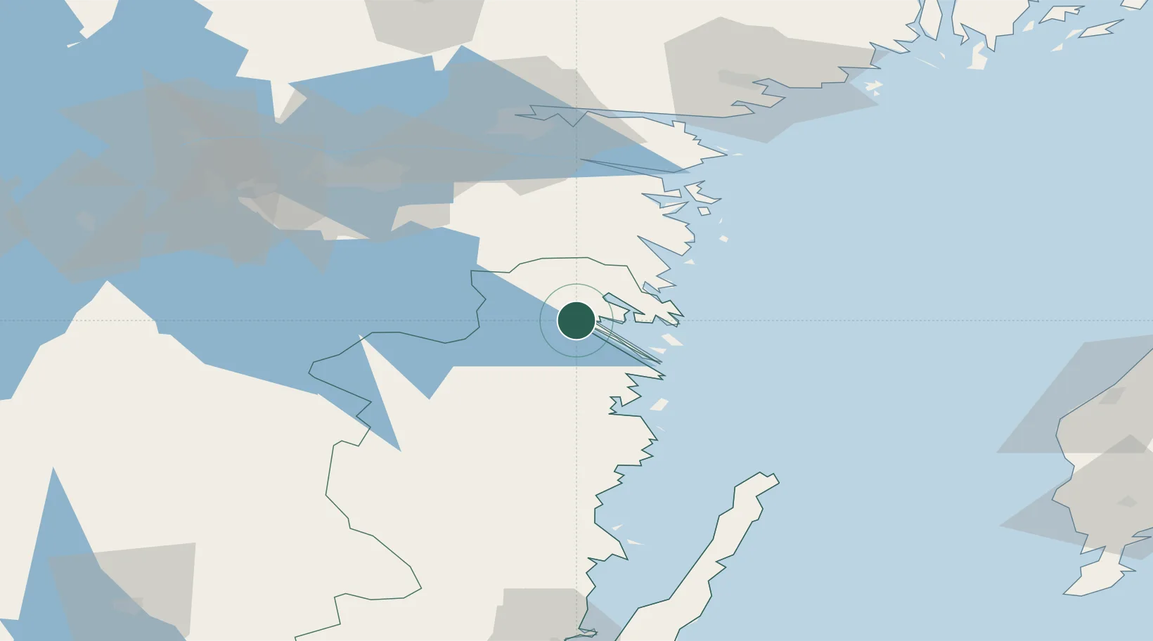
Place type
Populated place
Region
Kalmar
Population
2,758
Time zone
Europe/Stockholm
Elevation
32 m
Location
Nearby Logistics Neighbours
Ports
- 1Verkeback20 km
- 2Vastervik21 km
- 3Figeholm60 km
- 4Oskarshamn71 km
- 5Norrkoping77 km
Airports
- 1Linköping City Airport70 km
- 2Malmen Air Base76 km
- 3Norrköping Airport77 km
- 4Stockholm Skavsta Airport103 km
- 5Visby Airport118 km
Trade Zones
- 1Jönköping Free Zone137 km
- 2Stockholm Free Zone189 km
- 3Free port of Ventspils310 km
- 4MTS Malmö Transport and Spedition325 km
- 5Liepāja SEZ330 km
DatabookThe Record of Consolidated Knowledge
Sweden beyond logistics?