Transport Functions
Rail
Road
Hub Profile
Place type
Populated place
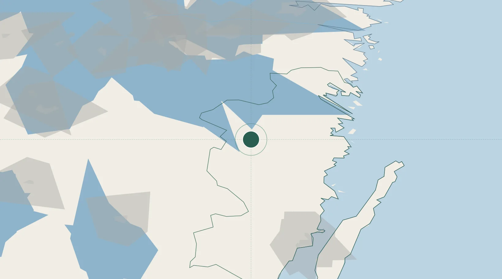
Region
Kalmar
Time zone
Europe/Stockholm
Elevation
144 m
Location
Nearby Logistics Neighbours
Ports
- 1Figeholm42 km
- 2Verkeback46 km
- 3Oskarshamn46 km
- 4Vastervik53 km
- 5Stora Jatterson64 km
Airports
- 1Växjö Kronoberg Airport96 km
- 2Linköping City Airport98 km
- 3Kalmar Airport98 km
- 4Malmen Air Base98 km
- 5Jönköping Airport110 km
Trade Zones
DatabookThe Record of Consolidated Knowledge
Sweden beyond logistics?