UN/LOCODE hub · Sweden
SEVAL

Vallvik

61.1833°, 17.1833°
242
Population
3
Transport functions

Transport Functions

Port
Rail
Road
Vallvik is also a profiled seaport →
UN/LOCODE

Hub Profile

Place type
Populated place
GeoNames
Region
Gävleborg
GeoNames
Population
242
GeoNames
Time zone
Europe/Stockholm
GeoNames
Elevation
1 m
GeoNames

Location

Location of SEVAL
Natural Earth 10m (public domain) · Gävleborg · SEVAL · 61.18, 17.18GoogleOSMYandex

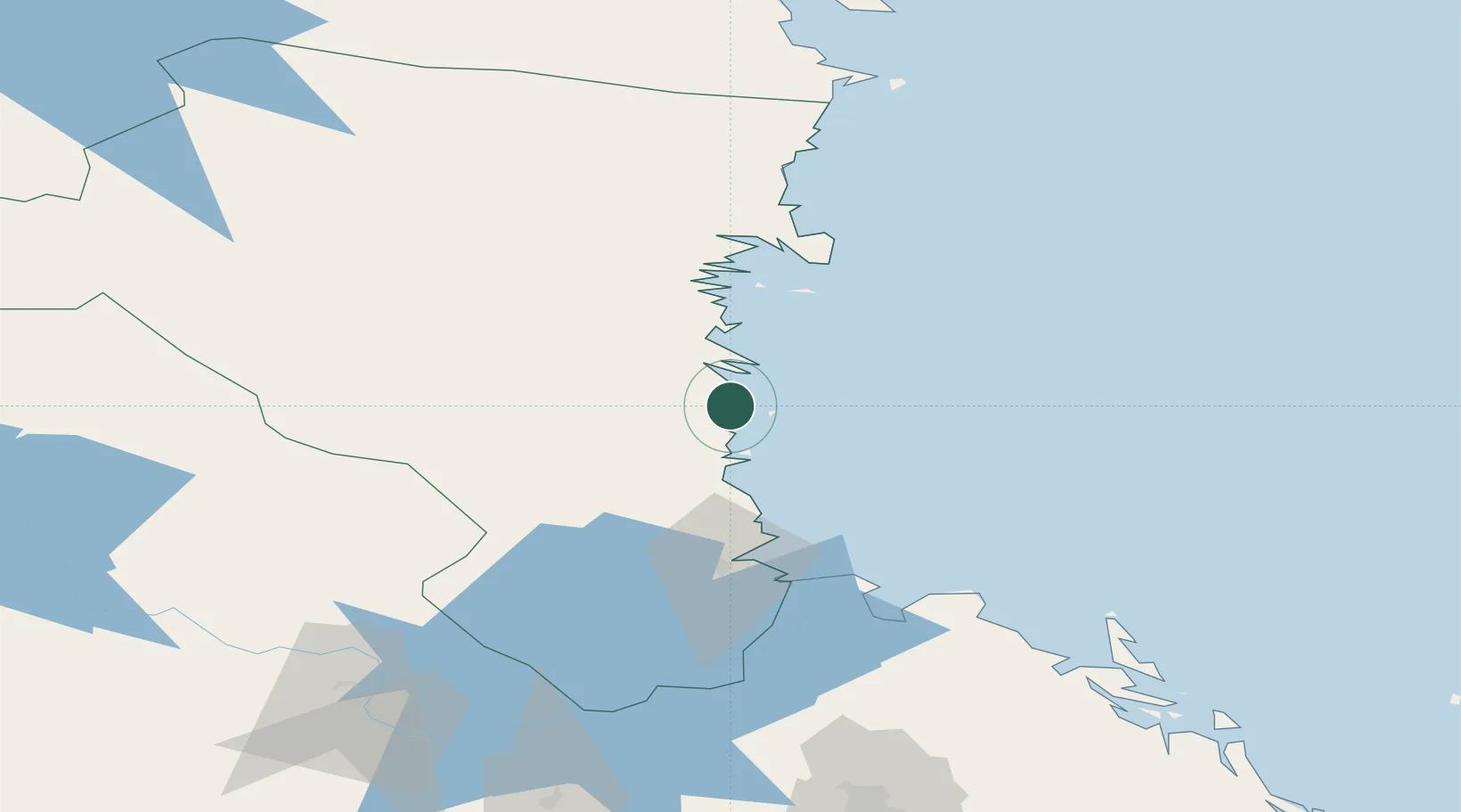
Nearby Logistics Neighbours

Cities
  1. 1Ala4 km
  2. 2Ljusne5 km
  3. 3Stugsund15 km
  4. 4Norrsundet26 km
  5. 5Iggesund50 km
Nearest neighbours — logibook spatial index (haversine) over the source coordinates
Ports
  1. 1Sandarne9 km
  2. 2Soderhamn14 km
  3. 3Norrsundet28 km
  4. 4Iggesund52 km
  5. 5Gavle56 km
Nearest neighbours — logibook spatial index (haversine) over the source coordinates
Airports
  1. 1Söderhamn Airport10 km
  2. 2Gävle Sandviken Airport67 km
  3. 3Dala Airport124 km
  4. 4Mora Airport146 km
  5. 5Sundsvall-Härnösand Airport150 km
Nearest neighbours — logibook spatial index (haversine) over the source coordinates
Trade Zones
  1. 1Stockholm Free Zone210 km
  2. 2Turku Free Zone285 km
  3. 3Freeport of Hanko346 km
  4. 4Jönköping Free Zone418 km
  5. 5Free port of Ventspils487 km
Nearest neighbours — logibook spatial index (haversine) over the source coordinates
DatabookThe Record of Consolidated Knowledge
Sweden beyond logistics?
Browse databook

All Sources

LocationsUN/LOCODE
UN/LOCODE — free
LocationsGeoNames
CC BY 4.0
Portsthe NGA World Port Index
Public domain (US gov)
AirportsOurAirports
Public domain
Trade Zonesthe World Bank SEZ database
CC BY 4.0
Trade ZonesOpen Zone Map
CC BY
← Sweden locations