Transport Functions
Port
Rail
Road
Hub Profile
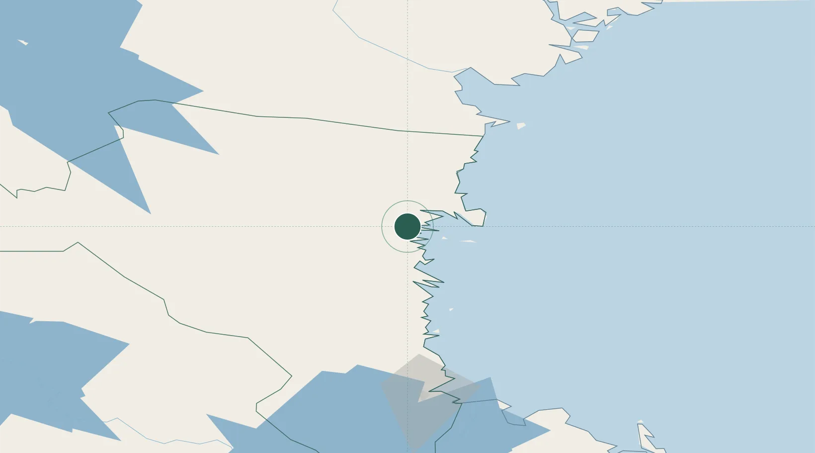
Place type
Populated place
Region
Gävleborg
Population
3,419
Time zone
Europe/Stockholm
Elevation
30 m
Location
Nearby Logistics Neighbours
Cities
- 1Hudiksvall11 km
- 2Stocka31 km
- 3Bjuraker37 km
- 4Stugsund37 km
- 5Kalv41 km
Ports
- 1Hudiksvall11 km
- 2Stocka33 km
- 3Soderhamn37 km
- 4Sandarne41 km
- 5Vallvik50 km
Airports
- 1Söderhamn Airport41 km
- 2Sundsvall-Härnösand Airport101 km
- 3Gävle Sandviken Airport116 km
- 4Sveg Airport146 km
- 5Mora Airport156 km
Trade Zones
- 1Stockholm Free Zone260 km
- 2Turku Free Zone307 km
- 3Freeport of Hanko374 km
- 4Jönköping Free Zone461 km
- 5Gothenburg Boundless Customs Warehouse527 km
DatabookThe Record of Consolidated Knowledge
Sweden beyond logistics?