Transport Functions
Port
Rail
Road
Hub Profile
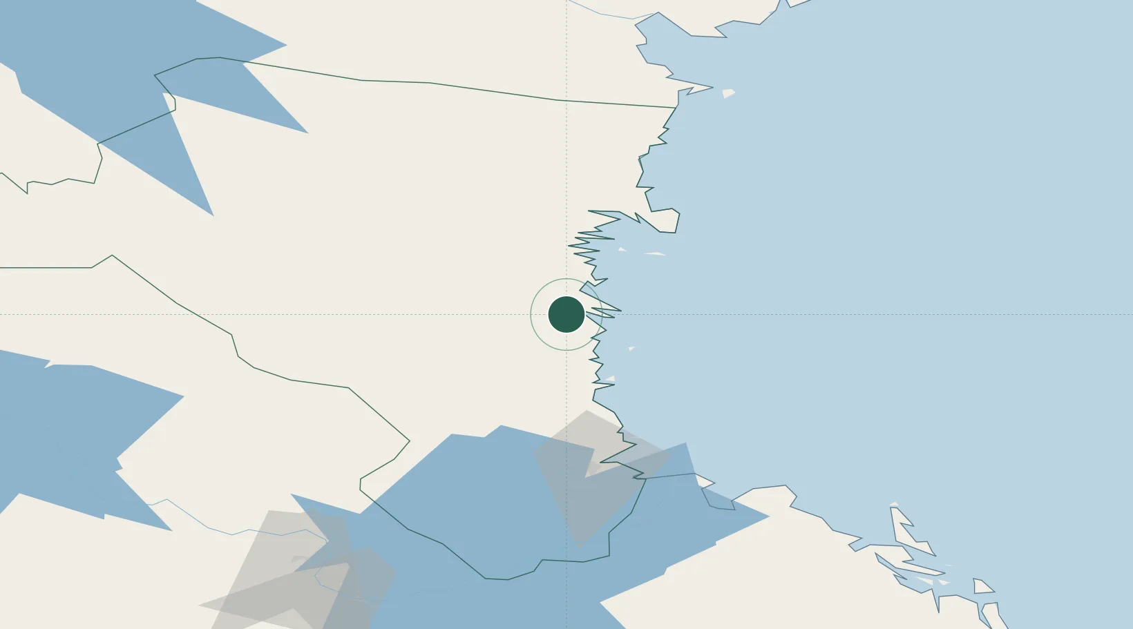
Place type
Urban district
Region
Gävleborg
Time zone
Europe/Stockholm
Elevation
1 m
Location
Nearby Logistics Neighbours
Cities
- 1Ljusne10 km
- 2Ala11 km
- 3Vallvik15 km
- 4Iggesund37 km
- 5Norrsundet39 km
Ports
- 1Soderhamn2 km
- 2Sandarne8 km
- 3Vallvik14 km
- 4Iggesund39 km
- 5Norrsundet41 km
Airports
- 1Söderhamn Airport5 km
- 2Gävle Sandviken Airport79 km
- 3Dala Airport128 km
- 4Sundsvall-Härnösand Airport138 km
- 5Mora Airport142 km
Trade Zones
- 1Stockholm Free Zone225 km
- 2Turku Free Zone295 km
- 3Freeport of Hanko358 km
- 4Jönköping Free Zone427 km
- 5Gothenburg Boundless Customs Warehouse497 km
DatabookThe Record of Consolidated Knowledge
Sweden beyond logistics?