Transport Functions
Port
Hub Profile
Place type
Populated place
Region
Gävleborg
Time zone
Europe/Stockholm
Elevation
2 m
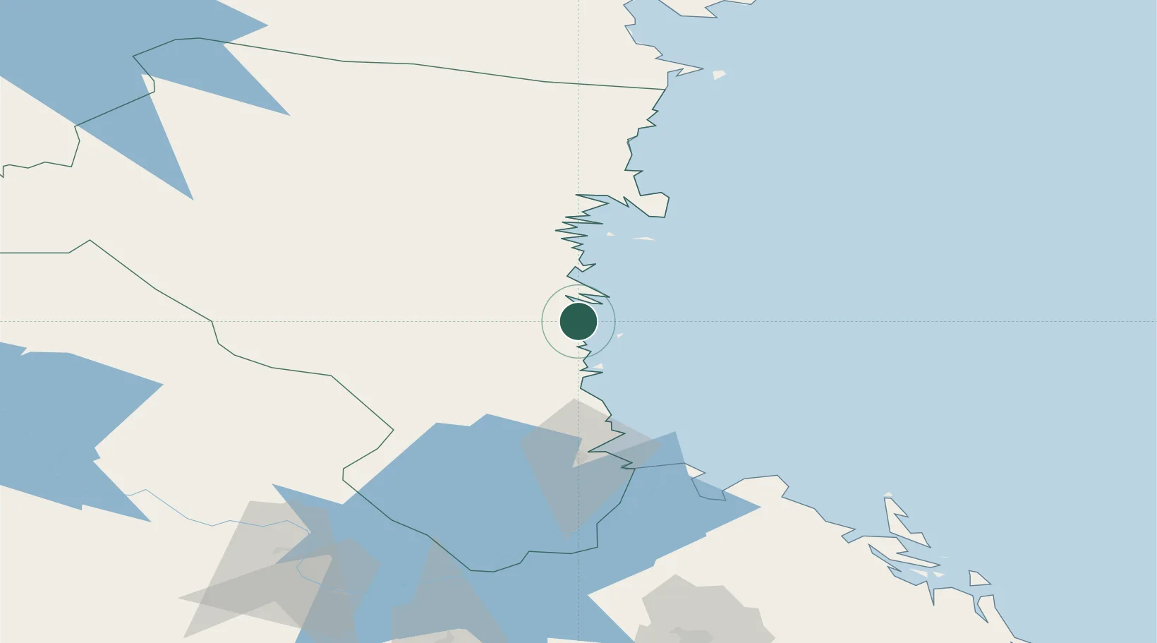
Location
Nearby Logistics Neighbours
Cities
- 1Ljusne1 km
- 2Vallvik4 km
- 3Stugsund11 km
- 4Norrsundet30 km
- 5Iggesund47 km
Ports
- 1Vallvik4 km
- 2Sandarne6 km
- 3Soderhamn10 km
- 4Norrsundet32 km
- 5Iggesund48 km
Airports
- 1Söderhamn Airport6 km
- 2Gävle Sandviken Airport70 km
- 3Dala Airport125 km
- 4Mora Airport145 km
- 5Sundsvall-Härnösand Airport147 km
Trade Zones
- 1Stockholm Free Zone214 km
- 2Turku Free Zone287 km
- 3Freeport of Hanko350 km
- 4Jönköping Free Zone421 km
- 5Free port of Ventspils491 km
DatabookThe Record of Consolidated Knowledge
Sweden beyond logistics?