Transport Functions
Road
Multimodal
Hub Profile
Place type
Populated place
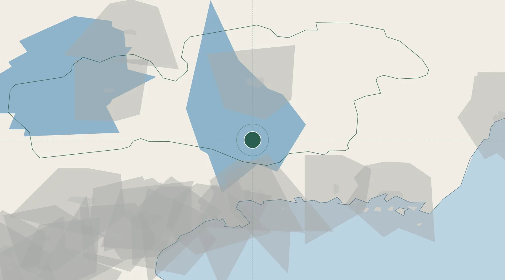
Region
Kronoberg
Population
942
Time zone
Europe/Stockholm
Elevation
147 m
Location
Nearby Logistics Neighbours
Ports
- 1Karlshamn43 km
- 2Ronneby51 km
- 3Solvesborg56 km
- 4Karlskrona65 km
- 5Ahus73 km
Airports
- 1Ronneby Airport42 km
- 2Växjö Kronoberg Airport44 km
- 3Kristianstad Airport81 km
- 4Kalmar Airport94 km
- 5Ljungbyhed Airfield109 km
Trade Zones
DatabookThe Record of Consolidated Knowledge
Sweden beyond logistics?