UN/LOCODE hub · Sweden
SESZJ

Kallinge

56.2333°, 15.2833°
4,664
Population
3
Transport functions

Transport Functions

Rail
Road
Multimodal
UN/LOCODE

Hub Profile

Place type
Populated place
GeoNames
Region
Blekinge
GeoNames
Population
4,664
GeoNames
Time zone
Europe/Stockholm
GeoNames
Elevation
50 m
GeoNames

Location

Location of SESZJ
Natural Earth 10m (public domain) · Blekinge · SESZJ · 56.23, 15.28GoogleOSMYandex

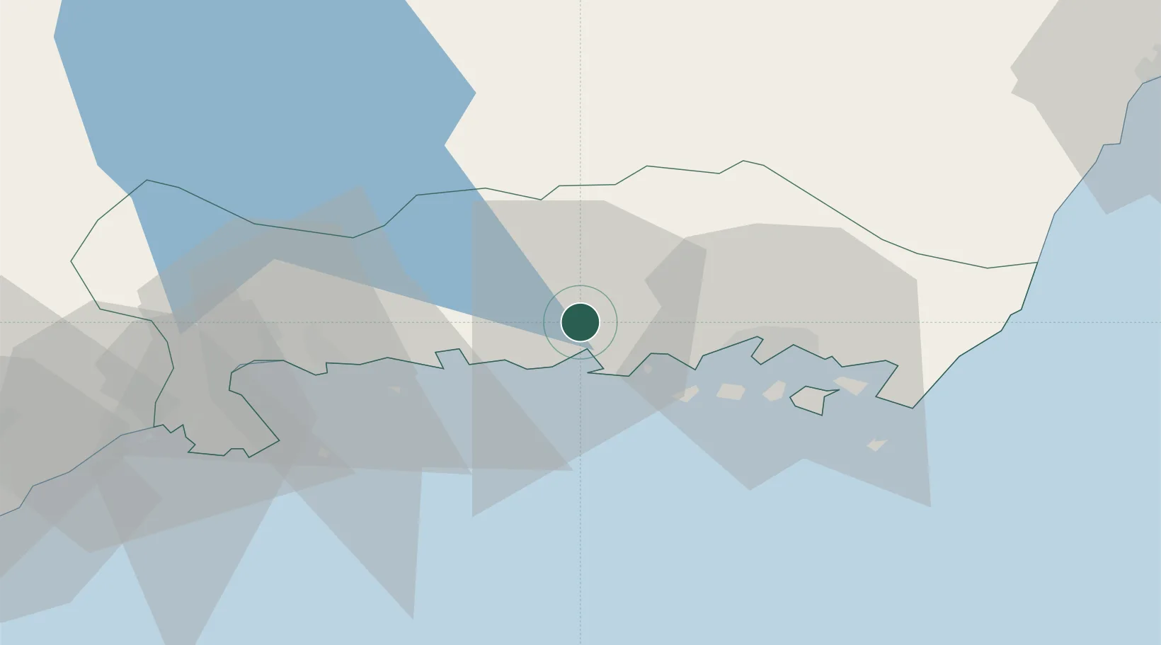
Nearby Logistics Neighbours

Cities
  1. 1Ronneby4 km
  2. 2Ronnebyhamn6 km
  3. 3Fredriksdal15 km
  4. 4Nättraby15 km
  5. 5Karlskrona20 km
Nearest neighbours — logibook spatial index (haversine) over the source coordinates
Ports
  1. 1Ronneby7 km
  2. 2Karlskrona21 km
  3. 3Karlshamn27 km
  4. 4Solvesborg48 km
  5. 5Bergkvara53 km
Nearest neighbours — logibook spatial index (haversine) over the source coordinates
Airports
  1. 1Ronneby Airport4 km
  2. 2Kalmar Airport80 km
  3. 3Kristianstad Airport82 km
  4. 4Växjö Kronoberg Airport85 km
  5. 5Ljungbyhed Airfield129 km
Nearest neighbours — logibook spatial index (haversine) over the source coordinates
Trade Zones
  1. 1MTS Malmö Transport and Spedition153 km
  2. 2Freeport of Copenhagen- Nordhavn177 km
  3. 3Jönköping Free Zone185 km
  4. 4Słupsk SEZ (Słupska SSE)226 km
  5. 5Gothenburg Boundless Customs Warehouse267 km
Nearest neighbours — logibook spatial index (haversine) over the source coordinates
DatabookThe Record of Consolidated Knowledge
Sweden beyond logistics?
Browse databook

All Sources

LocationsUN/LOCODE
UN/LOCODE — free
LocationsGeoNames
CC BY 4.0
Portsthe NGA World Port Index
Public domain (US gov)
AirportsOurAirports
Public domain
Trade Zonesthe World Bank SEZ database
CC BY 4.0
Trade ZonesOpen Zone Map
CC BY
← Sweden locations