Transport Functions
Rail
Road
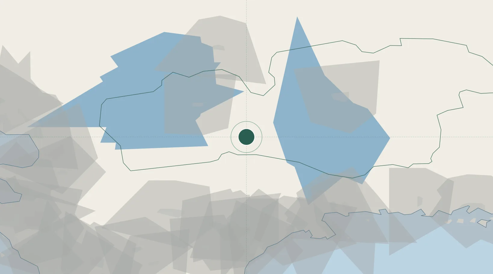
Hub Profile
Region
G
Location
Nearby Logistics Neighbours
Ports
- 1Karlshamn67 km
- 2Solvesborg69 km
- 3Ahus79 km
- 4Halmstad83 km
- 5Ronneby84 km
Airports
- 1Växjö Kronoberg Airport45 km
- 2Ronneby Airport76 km
- 3Kristianstad Airport80 km
- 4Halmstad Airport86 km
- 5Ljungbyhed Airfield87 km
Trade Zones
DatabookThe Record of Consolidated Knowledge
Sweden beyond logistics?