Transport Functions
Rail
Road
Multimodal
Hub Profile
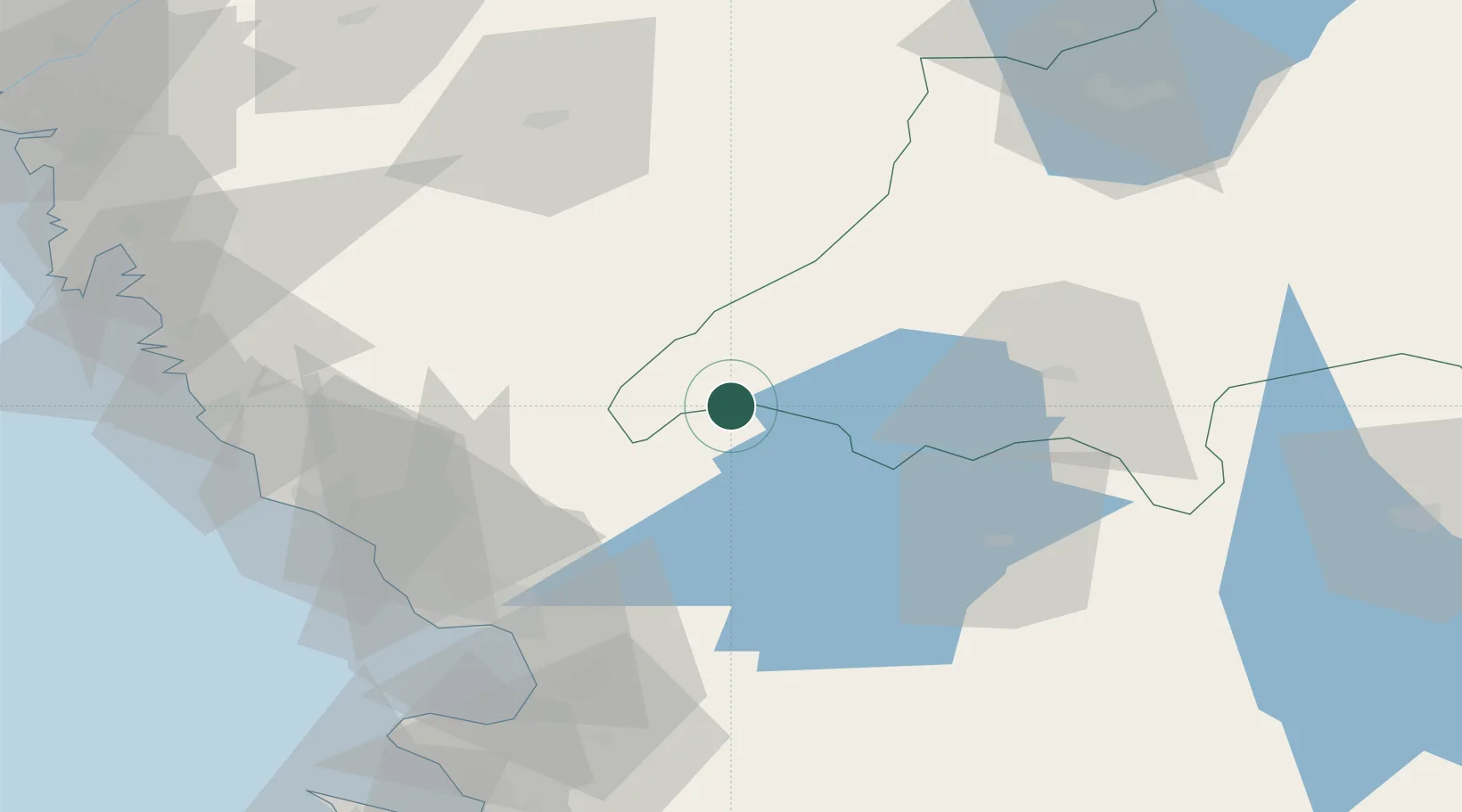
Place type
Populated place
Region
Jönköping
Population
360
Time zone
Europe/Stockholm
Elevation
150 m
Location
Nearby Logistics Neighbours
Ports
- 1Halmstad58 km
- 2Falkenberg60 km
- 3Varberg68 km
- 4Nykobing (Mor)98 km
- 5Goteborg106 km
Airports
- 1Halmstad Airport57 km
- 2Jönköping Airport83 km
- 3Växjö Kronoberg Airport86 km
- 4Göteborg Landvetter Airport88 km
- 5Ängelholm-Helsingborg Airport96 km
Trade Zones
DatabookThe Record of Consolidated Knowledge
Sweden beyond logistics?