Transport Functions
Port
Multimodal
Hub Profile
Place type
Populated place
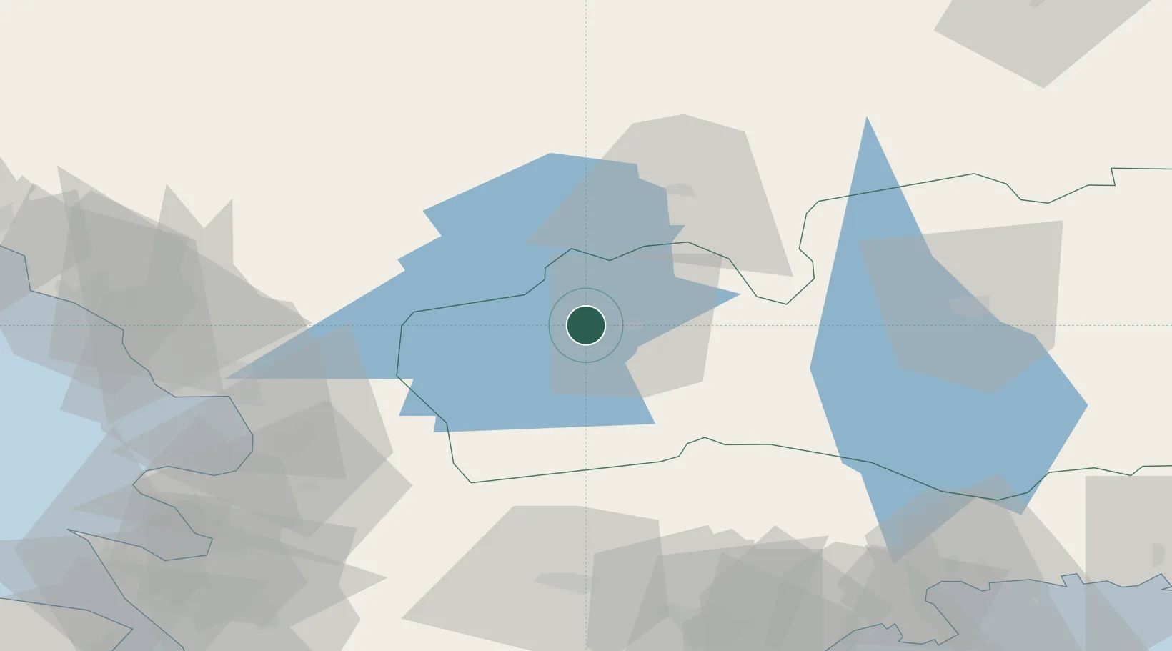
Region
Kronoberg
Population
221
Time zone
Europe/Stockholm
Elevation
154 m
Location
Nearby Logistics Neighbours
Cities
- 1Lagan15 km
- 2Diö34 km
- 3Skeppshult42 km
- 4Moheda50 km
- 5Hishult54 km
Ports
- 1Halmstad60 km
- 2Falkenberg81 km
- 3Varberg100 km
- 4Solvesborg100 km
- 5Karlshamn100 km
Airports
- 1Växjö Kronoberg Airport57 km
- 2Halmstad Airport62 km
- 3Ängelholm-Helsingborg Airport84 km
- 4Ljungbyhed Airfield91 km
- 5Kristianstad Airport103 km
Trade Zones
DatabookThe Record of Consolidated Knowledge
Sweden beyond logistics?