Transport Functions
Port
Rail
Road
Hub Profile
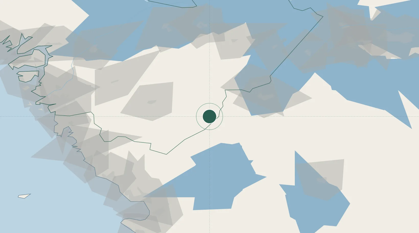
Place type
Populated place
Region
Västra Götaland
Population
219
Time zone
Europe/Stockholm
Elevation
189 m
Location
Nearby Logistics Neighbours
Cities
- 1Timmele33 km
- 2Marstrand35 km
- 3Jönköping37 km
- 4Sandhult51 km
- 5Skeppshult52 km
Ports
- 1Varberg96 km
- 2Goteborg98 km
- 3Falkenberg102 km
- 4Halmstad109 km
- 5Stenungsund120 km
Airports
- 1Jönköping Airport36 km
- 2Göteborg Landvetter Airport78 km
- 3Växjö Kronoberg Airport99 km
- 4Skövde Airport102 km
- 5Säve Airport105 km
Trade Zones
DatabookThe Record of Consolidated Knowledge
Sweden beyond logistics?