Transport Functions
Rail
Road
Hub Profile
Place type
Populated place
Region
Kronoberg
Population
1,550
Time zone
Europe/Stockholm
Elevation
148 m
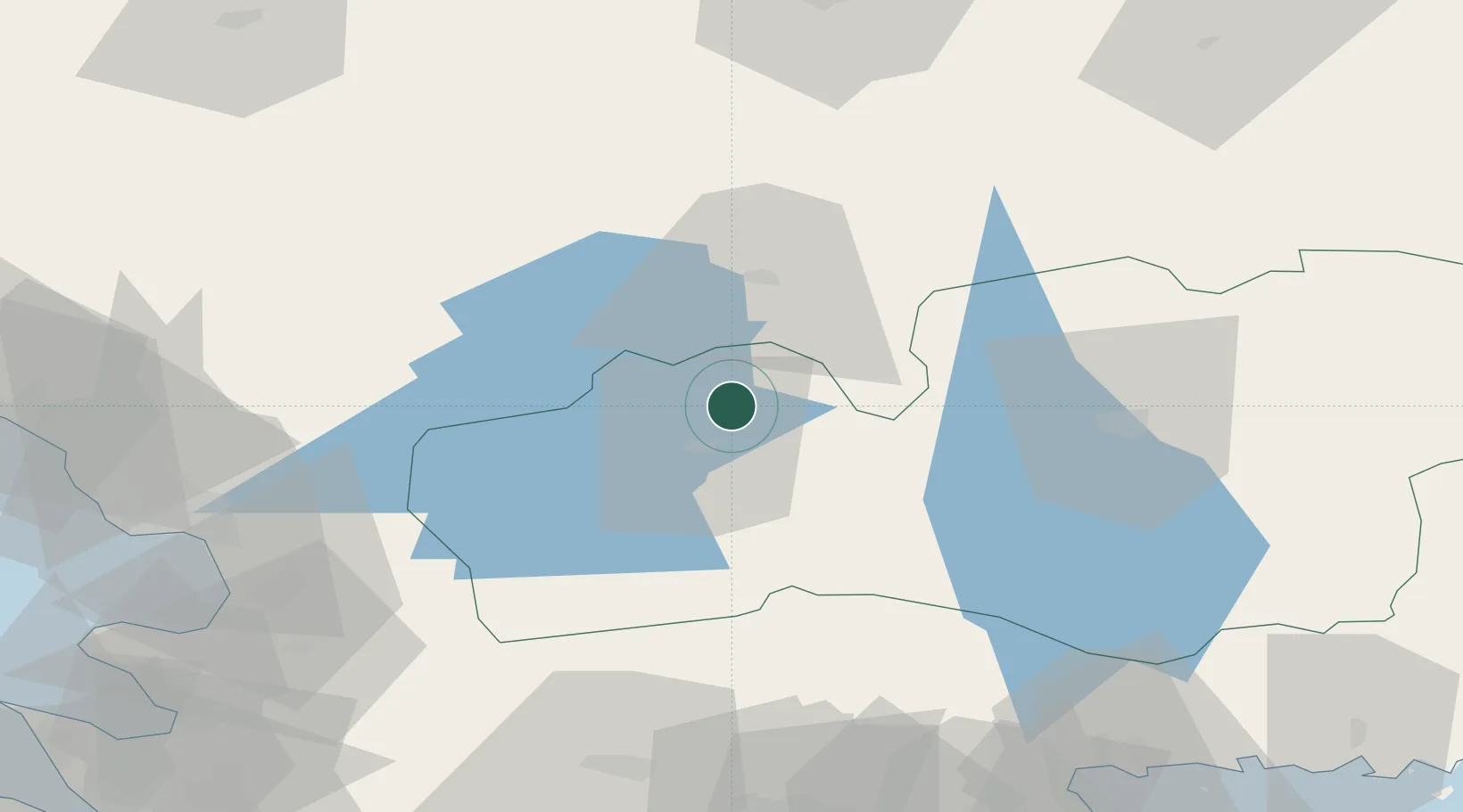
Location
Nearby Logistics Neighbours
Cities
- 1Stavsjö15 km
- 2Diö35 km
- 3Moheda37 km
- 4Skeppshult44 km
- 5Rörvik50 km
Ports
- 1Halmstad74 km
- 2Falkenberg92 km
- 3Karlshamn101 km
- 4Solvesborg104 km
- 5Varberg108 km
Airports
- 1Växjö Kronoberg Airport45 km
- 2Halmstad Airport75 km
- 3Jönköping Airport94 km
- 4Ängelholm-Helsingborg Airport98 km
- 5Ljungbyhed Airfield104 km
Trade Zones
DatabookThe Record of Consolidated Knowledge
Sweden beyond logistics?