Transport Functions
Port
Hub Profile
Place type
Populated place
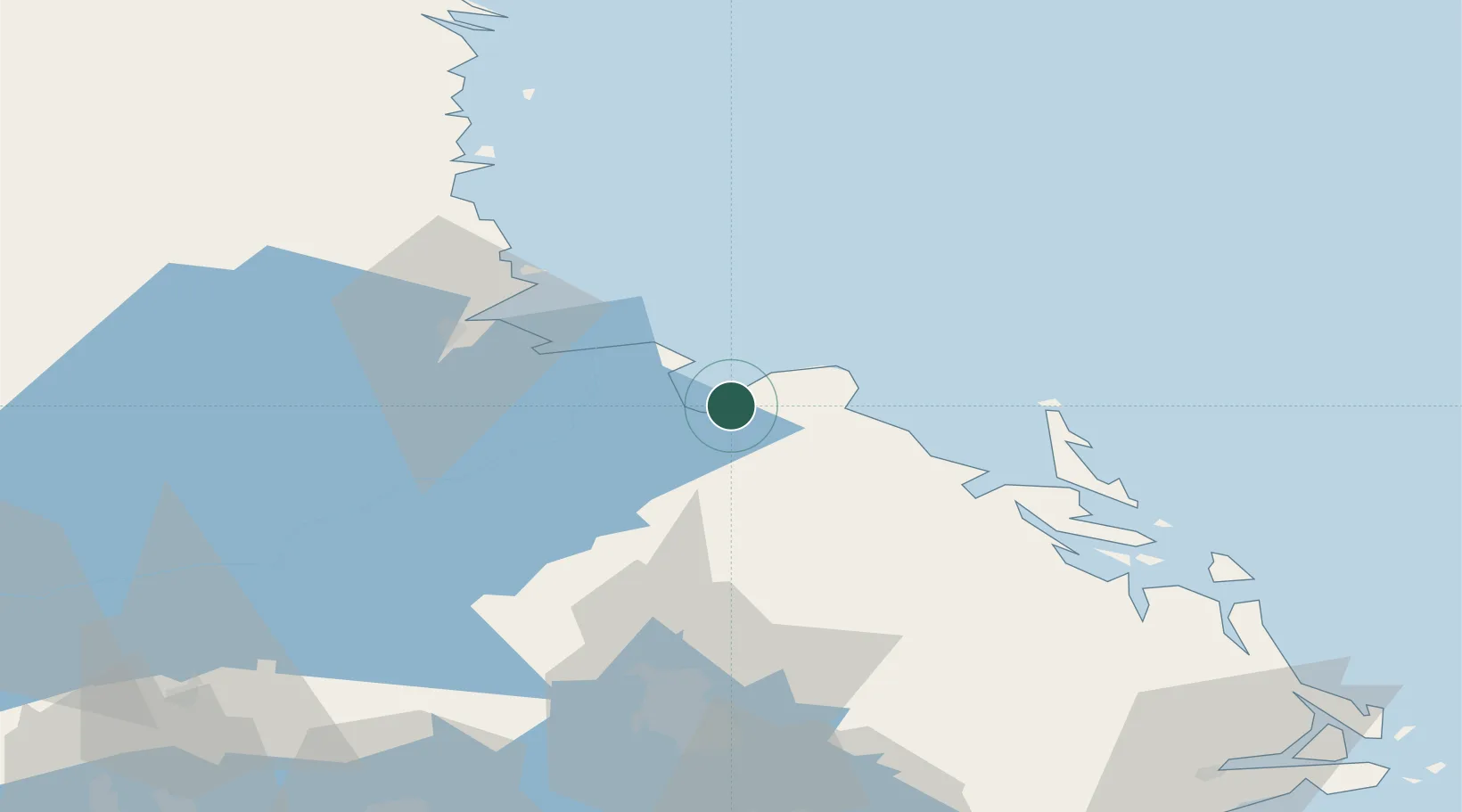
Region
Uppsala
Time zone
Europe/Stockholm
Location
Nearby Logistics Neighbours
Cities
- 1Skärplinge6 km
- 2Karlholmsbruk6 km
- 3Älvkarleby17 km
- 4Skutskär22 km
- 5Forsmark28 km
Ports
- 1Skutskar24 km
- 2Karskar32 km
- 3Gavle36 km
- 4Hargshamn54 km
- 5Norrsundet56 km
Airports
- 1Gävle Sandviken Airport44 km
- 2Söderhamn Airport90 km
- 3Stockholm-Arlanda Airport97 km
- 4Stockholm Västerås Airport120 km
- 5Dala Airport122 km
Trade Zones
- 1Stockholm Free Zone132 km
- 2Turku Free Zone246 km
- 3Freeport of Hanko295 km
- 4Jönköping Free Zone370 km
- 5Free port of Ventspils409 km
DatabookThe Record of Consolidated Knowledge
Sweden beyond logistics?