Transport Functions
Port
Road
Hub Profile
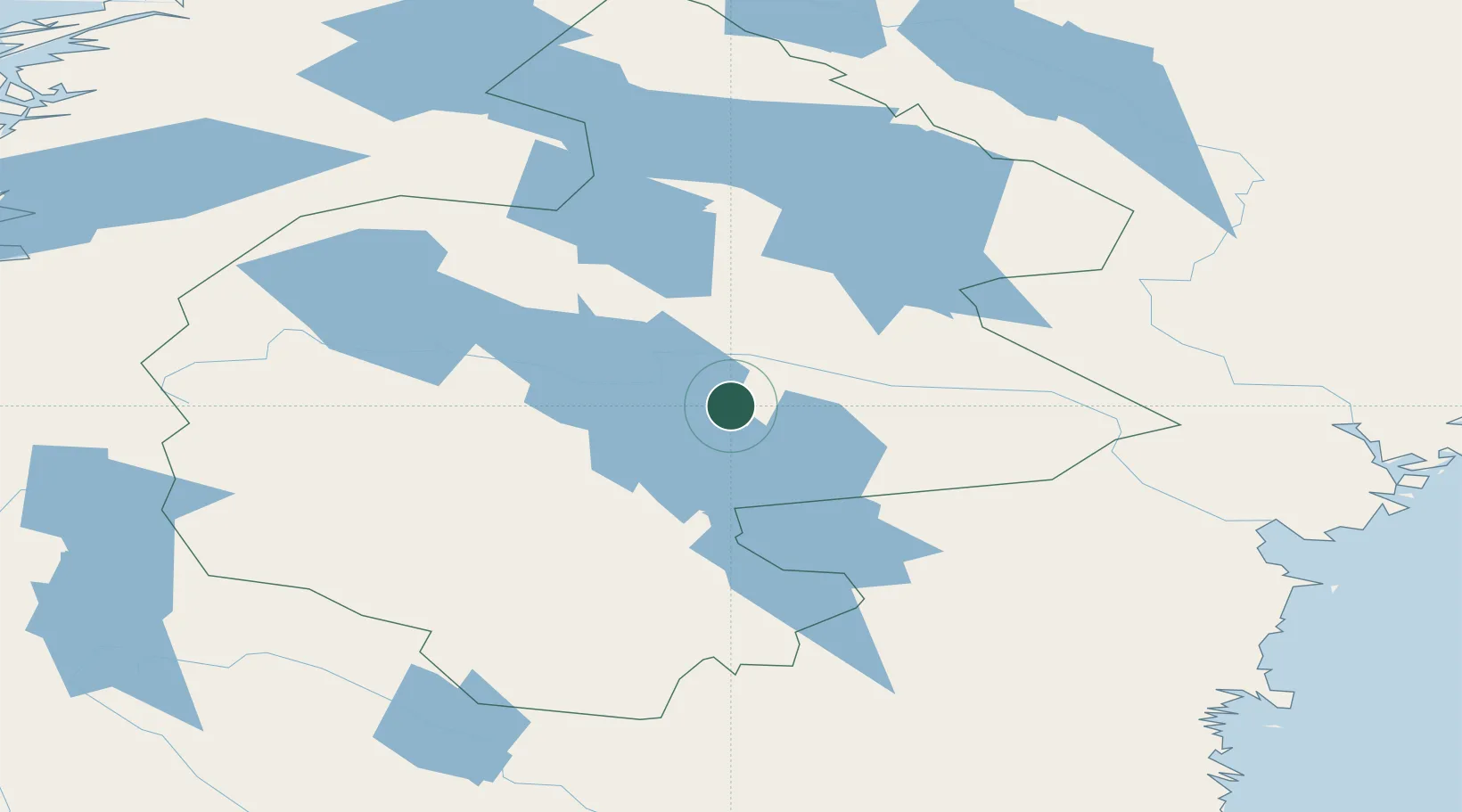
Place type
Populated place
Region
Jämtland
Population
3,916
Time zone
Europe/Stockholm
Elevation
339 m
Location
Nearby Logistics Neighbours
Cities
- 1Hackås24 km
- 2Gällö28 km
- 3Dvaersaett32 km
- 4Krokom33 km
- 5Svenstavik40 km
Ports
- 1Vivstavarv145 km
- 2Bollstabruk146 km
- 3Vaja147 km
- 4Sundsvall151 km
- 5Soraker151 km
Airports
- 1Åre Östersund Airport20 km
- 2Sveg Airport117 km
- 3Sundsvall-Härnösand Airport147 km
- 4Kramfors-Sollefteå Höga Kusten Airport149 km
- 5Vilhelmina South Lapland Airport194 km
Trade Zones
- 1Stockholm Free Zone451 km
- 2Turku Free Zone487 km
- 3Freeport of Hanko560 km
- 4Jönköping Free Zone593 km
- 5Gothenburg Boundless Customs Warehouse620 km
DatabookThe Record of Consolidated Knowledge
Sweden beyond logistics?