Transport Functions
Rail
Road
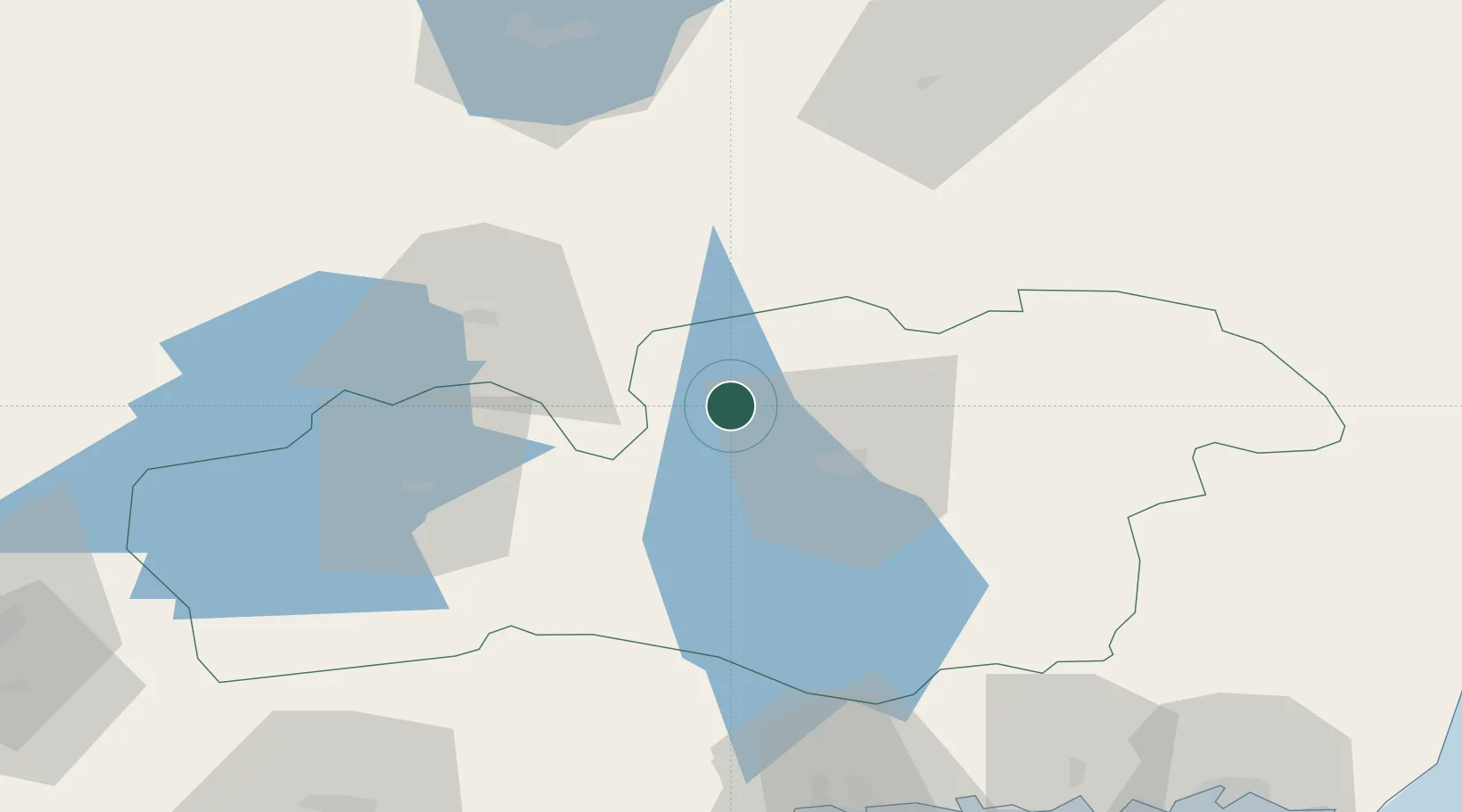
Hub Profile
Place type
Populated place
Region
Kronoberg
Population
1,880
Time zone
Europe/Stockholm
Elevation
170 m
Location
Nearby Logistics Neighbours
Cities
- 1Rottne20 km
- 2Rörvik26 km
- 3Lagan37 km
- 4Klavreström37 km
- 5Diö46 km
Ports
- 1Karlshamn96 km
- 2Ronneby102 km
- 3Solvesborg106 km
- 4Halmstad110 km
- 5Karlskrona112 km
Airports
- 1Växjö Kronoberg Airport13 km
- 2Jönköping Airport89 km
- 3Ronneby Airport92 km
- 4Kalmar Airport110 km
- 5Halmstad Airport112 km
Trade Zones
DatabookThe Record of Consolidated Knowledge
Sweden beyond logistics?