Transport Functions
Road
Multimodal
Hub Profile
Place type
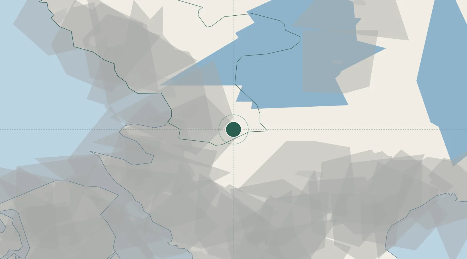
Populated place
Region
Halland
Population
328
Time zone
Europe/Stockholm
Elevation
97 m
Location
Nearby Logistics Neighbours
Cities
- 1Borschütz6 km
- 2Östra Karup22 km
- 3Kvidinge36 km
- 4Halmstad37 km
- 5Finja38 km
Ports
- 1Halmstad37 km
- 2Hoganas54 km
- 3Helsingborg58 km
- 4Helsingor61 km
- 5Landskrona70 km
Airports
- 1Ängelholm-Helsingborg Airport32 km
- 2Ljungbyhed Airfield39 km
- 3Halmstad Airport41 km
- 4Kristianstad Airport75 km
- 5København Vandflyveplads93 km
Trade Zones
DatabookThe Record of Consolidated Knowledge
Sweden beyond logistics?