Transport Functions
Port
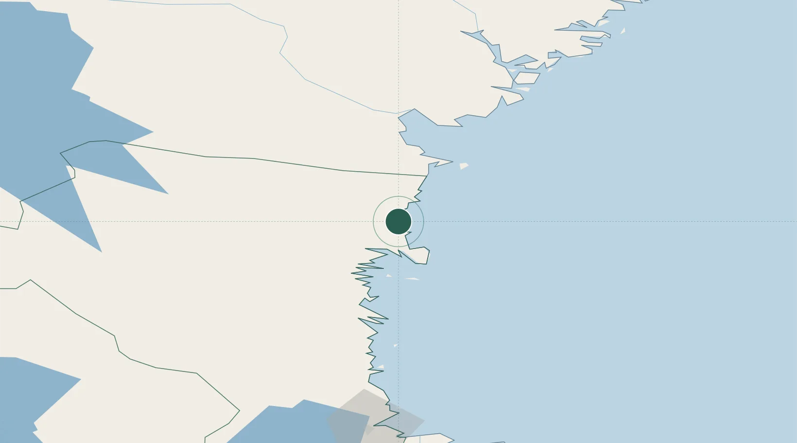
Hub Profile
Place type
Populated place
Region
Gävleborg
Population
340
Time zone
Europe/Stockholm
Elevation
2 m
Location
Nearby Logistics Neighbours
Cities
- 1Hudiksvall21 km
- 2Iggesund31 km
- 3Bjuraker40 km
- 4Essvik46 km
- 5Stockviksverken50 km
Ports
- 1Hudiksvall20 km
- 2Iggesund29 km
- 3Stockvik50 km
- 4Sundsvall56 km
- 5Soderhamn66 km
Airports
- 1Söderhamn Airport70 km
- 2Sundsvall-Härnösand Airport72 km
- 3Kramfors-Sollefteå Höga Kusten Airport132 km
- 4Gävle Sandviken Airport145 km
- 5Sveg Airport153 km
Trade Zones
- 1Stockholm Free Zone285 km
- 2Turku Free Zone307 km
- 3Freeport of Hanko377 km
- 4Jönköping Free Zone492 km
- 5Free port of Ventspils551 km
DatabookThe Record of Consolidated Knowledge
Sweden beyond logistics?